Plan flights with detailed route mapping, weather data, and fuel calculations. Access real-time weather briefings and interactive charts. Log flight details and manage preflight checklists. Sync with avionics for consistent navigation.
by Digital Cyclone★ 4.74,147 ratingsWeatherFreeData updated 2026-10-28
Get detailed forecasts including wind, pressure, and precipitation chance. View animated modules for sunrise, sunset, wind, and pressure. Explore interactive maps with radar, satellite, heat, and wind data. Track favorite cities and destinations.
The app provides current weather conditions and forecasts for airports worldwide. Data can be displayed in raw format or as decoded text, with offline access available for all weather data.
Plan and navigate using an interactive moving map with aeronautical charts, satellite, or vector map backgrounds. View real-time flight data, track position, and adjust routes. Access up-to-date weather and airspace information.
View live weather radar and satellite imagery. Track precipitation types and lightning. Access high-resolution forecasts using advanced models. Set location-based alerts. Share weather data with others.
Plan flights with route mapping, fuel calculations, and weather data. Track aircraft in real time. Access offline maps and charts. Set flight parameters and monitor navigation. Share flight data with other .
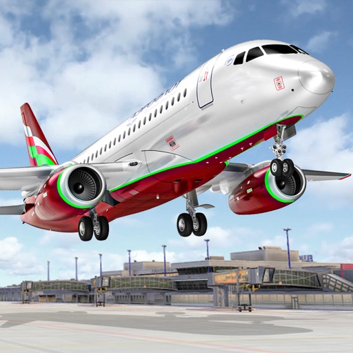
Control an to perform stunts and navigate through checkpoint rings. Transport passengers between cities and complete assigned tasks. Customize aircraft settings and manage in-game missions.
Plan trips by streaming maps over Wi-Fi or cellular. Search for locations like trailheads or mountain peaks. Navigate outdoors using a compatible device. View maps and plan routes without requiring constant internet connectivity.
Find fishing spots with of rivers, lakes, and streams. View property boundaries to stay legal. Locate access points, boat ramps, and local shops. Use the River Measuring Tool to track conditions and log fishing success.
View real-time weather data including D-ATIS, METARs, TAFs, and reports. Access up-to-date radar images with a subscription or delayed radar for free users. Explore detailed airport information and maps for flight planning.
Calculate groundspeed, true heading, compass heading, leg time, distance, fuel required, fuel flow, and endurance for flight planning. Convert airspeed, altitude, and temperature.
The app uses a device's camera, gyroscope, and accelerometer to function as a sight level. Users can input the distance to a cloud, and the app calculates the height above or below it, correcting for the Earth's curvature.