The app records strike and dip measurements, bearings, and plunge. It simultaneously displays the user's latitude, longitude, and elevation, and saves measurements with photos and notes.
by Hunt Mountain Software★ 5.02 ratingsNavigation$4.99Data updated 2026-10-08
Track location in real time without cellular service or WiFi. Start and stop tracking instantly without login. View maps, waypoints, and route history. Export data in multiple formats. Share tracks with others.
Find using GPS . Search for areas and retrieve accurate latitude and longitude. Switch between standard, satellite, and terrain map views. Calculate area measurements. Share via email or messaging.
The app calculates the distance between lightning and the user's location. It measures the distance in meters and feet based on user input when lightning is seen or thunder is heard.
Displays altitude using a digital readout and an analog gauge. Tracks maximum height reached during use. Shows altitude accuracy and sensor quality. Utilizes GPS and barometric sensor for precise measurements.
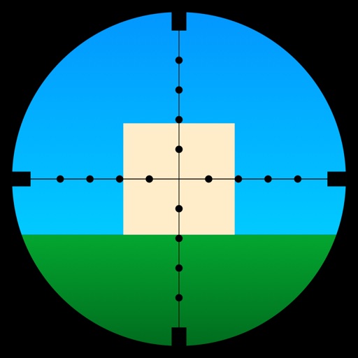
Learn to use a -Dot Riflescope with real-time range calculations in yards and meters. Perform target range estimation quickly using a simple graphical interface. One-handed operation eliminates manual input for range measurements.
Track parked car using GPS coordinates. View latitude and longitude details. Quickly locate spot while moving. Display precise data without extra features.
Access and edit measurements, imagery, and property data from quotes. Add and view photos, labels, and notes on the map. Share updates for clear communication between desktop and mobile users.
Monitor the International Space Station with real-time tracking on an interactive world map. View current altitude, velocity, and orbital period. Access precise latitude and longitude coordinates. Choose between standard and satellite map views.
Calculates sun and positions with 0.3% accuracy. Determines sunrise and sunset times. Provides moonrise and moonset times. Adjusts for elevation and time zone.