The app provides navigation with an arrow pointing to the destination and the remaining distance. Users can search for places, view their position on a map, and see the distance on their Lock Screen.
Provide maps for navigation without internet connection. Zoom into detailed vector maps with continuous updates. Locate points of interest and navigate without roaming charges. Save data by avoiding international fees.
Monitor speed and distance with real-time GPS tracking. Switch between car and bike cyclometer. View average and max speed. Adjust units to mph or km/h. Check GPS accuracy and distance precision. Track time elapsed and altitude.
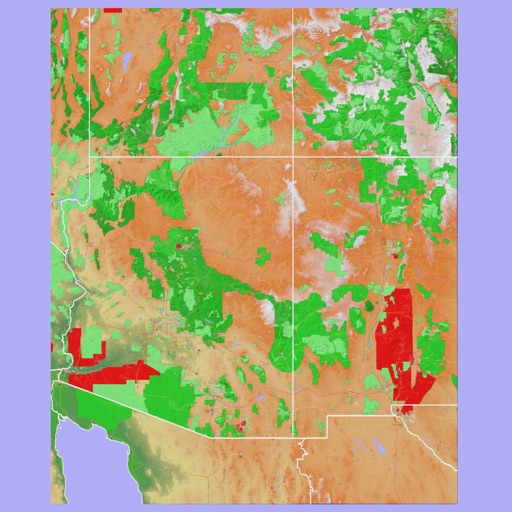
The app provides 3D topographic maps for iPad and iPhone. Vector map data is contained within the app for offline use, supporting navigation in various environments.
Explore state parks with detailed offline maps and trail info. Track distance from current location. View real-time weather for each park. Access wildlife and plant guides with Wikipedia links. Find park fee details.
Trace paths on maps to analyze elevation, distance, gradient, and bearing. View elevation and grade profiles of traced routes. Calculate area of arbitrary paths. Use satellite or default map views for terrain study.
Helps with by calculating formulas with variables, performing cross sums, converting roman numerals, counting characters, and translating letters to numbers.
The app provides a map for Tokyo Disneyland in Japan. Users can find attractions, restaurants, and shows, with directions available via GPS and compass.
Navigate using distance and direction without a map. Set destinations and receive step-by-step guidance. Track progress and view distance metrics. Works independently on Apple Watch with GPS.