

Apps Like Map Tools for iPhone and iPad
Set coordinates and switch datums
Users can view and convert coordinates between multiple datums including WGS84, NAD27, and GDA94. Input locations manually or via GPS. Select source or target coordinate systems for conversion. Display locations on an embedded map.
Map Tools screenshots
Ranked alternatives
Showing 461–480 of 1,000 ranked alternatives.

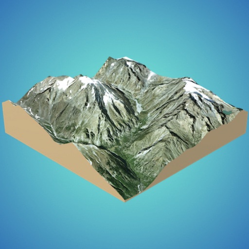
3D GIS Digital Elevation Model
Andres Narvaez
Generate 3D models from internet or cloud
Create 3D models from online sources like Bing Maps or local cloud points. Export data as CSV, TXT, STL, or OBJ. Modify models by cutting, scaling, and animating. Calculate surface areas and volumes in real-world units.

LandTracker Pro LSD Finder
Rocanda Technologies Inc
Convert, find, and save locations.
The app converts LSD and BC NTS coordinates. It can also determine the user's current LSD based on location and integrates with Google and Apple Maps for navigation and data viewing.




iMapIt Pro
Marcus B B E Silva
Map, measure, and record places.
The app collects geographic coordinates using the device's GPS. It maps points, lines, and areas, measuring them in various units.

GBTopoMap
Right Place Resources Limited
Pan and zoom maps offline
Provide offline topographic maps of Great Britain with pan and zoom capabilities. View detailed terrain features and scale at 1:25k. Use for outdoor activities like hiking, cycling, and hunting in areas without cellular coverage.

RENAISSANCE ELD
AL IHSAN EXPRESS INC
Track logs and create inspection reports
Manage vehicle logs and create roadside inspection reports with graph-grid RODs. View all relevant information with a single tap. Logbook calculates driving limits and alerts users of potential violations. Export logs and share reports directly.



PS Snapshot!
ProVest LLC
Capture service location, date, time.
The app allows users to capture service location, date, and time with photos. It includes features for setup, photo capture with details like GPS coordinates and fraud protection, and emailing the information.



MapApp NZ South Island
Saga Systems Ltd
Explore maps, find locations, track GPS
View topographic maps of New Zealand's . Locate current position via GPS. Search for place names. Access map data offline without cellular coverage. Display detailed terrain and geographical features.


How we rank alternatives
Apps are ranked by functional similarity, category fit, rating confidence, and popularity.