

Apps Like Map Tools for iPhone and iPad
Set coordinates and switch datums
Users can view and convert coordinates between multiple datums including WGS84, NAD27, and GDA94. Input locations manually or via GPS. Select source or target coordinate systems for conversion. Display locations on an embedded map.
Map Tools screenshots
Ranked alternatives
Showing 341–360 of 1,000 ranked alternatives.
Geo converter
杨 张
Convert coordinates to map locations.
The app displays a location on a map using latitude and longitude coordinates. Users can also find the latitude and longitude of a point on the map.


SGBus - Bus Timing & MRT Map
PENGHUI ZHAO
Check bus times and MRT routes
Check bus arrival times and locate nearby stops on a map. View Singapore MRT routes. Save favorite bus stops for quick access. Track real-time bus schedules and plan trips efficiently.

Location Finder
Johan Bergsee
Lookup any lat/long coordinate
The app looks up any latitude/longitude coordinate on the earth's surface and displays it on a satellite image or map. It is useful for finding a location specified only by its coordinates or to map out a SIGWX area.

Singapore MRT Map Offline
GOOD MOBILE LLP
Navigate stations and find routes
View interactive MRT and LRT maps. Search stations on a map. Get recommended routes. Function without internet. Requires minimal storage space.


Rebar Grid Calculator
H3Apps LLC
Calculate layout and quantity
Calculate requirements for concrete slabs by entering dimensions, spacing, and edge distances. Determine layout and quantities needed. Switch between imperial and metric units. Export results via text or email.

GPS
Void Stop Pty Ltd
Access iPhone GPS functionality and more.
The app displays current heading, course, speed, coordinates, and altitude. It offers street, topographic, and aerial maps, with cached maps available for a day.

SpeedoMeter + Free
Matteo Morelli
Track speed, coordinates, altitude, direction.
The app transforms an iPhone into a functional speedometer. It tracks current speed, GPS coordinates, altitude, direction, and maximum speed.

ISS Tracker - Live Position
Lucent Enterprises Ltd.
Track the ISS and view its orbit
Monitor the International Space Station with real-time tracking on an interactive world map. View current altitude, velocity, and orbital period. Access precise latitude and longitude coordinates. Choose between standard and satellite map views.


Geocaching Toolkit iGCT Pro
WA Verhoef
Toolkit for typical geocaching tasks.
The app provides tools for geocaching tasks such as waypoint projection and calculation. It can also convert between number systems and perform various encryption and decryption methods.

DigitalCounter - Multi-Project
Motoki Takahashi
Count items with grid, list, or fullscreen
Count items using grid, list, or fullscreen modes. Auto count increments numbers at set intervals. Voice announces item names during counting. Save multiple projects for different locations or dates.
GPS Map Camera & Timestamp Cam
Milan Savaliya
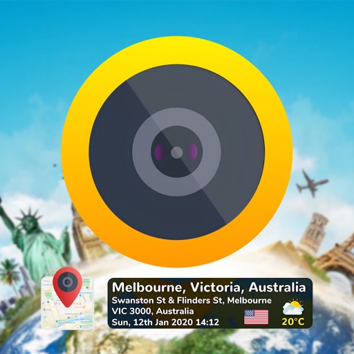
Tag timestamps and locations to photos
Add time stamps, GPS coordinates, and exact addresses to photos and videos instantly. Enable grid, aspect ratio, switch, flash, focus, and timer settings. Store user locations automatically and reverse-geotag addresses.

How we rank alternatives
Apps are ranked by functional similarity, category fit, rating confidence, and popularity.