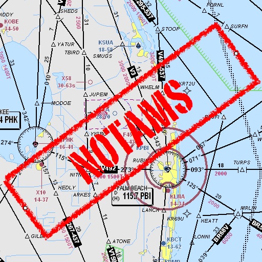
Assists pilots with interpreting NOTAMs, METARs, TAFs, and Area Forecasts. It decodes acronyms and contractions for both inflight and ground use. Users can search for details and weather reports.
by Mark Bateman★ 4.02 ratingsNavigation$0.99Data updated 2026-10-10
With accurate readings. Save and synchronize results to Apple Health. Set reminders for checks. Export data and view measurement records. Add and edit notes to individual entries.
The app provides airport information for over 8,000 airports. It presents essential data including runway details, frequencies, weather, and NOTAMs in a clear layout.
The app decodes SNOWTAM and MOTNE reports, providing quick access to runway conditions and notification fields. It also calculates cold temperature altitude adjustments using a formula based on Transport Canada's chart.
Calculate alcohol concentrations using fractional distillation formulas. Measure dilution and mixing with contraction factors. Determine drip rates and correct hydrometer readings for accurate brewing calculations.
Download and view FAA airport diagrams and facility directories offline. Access airport maps, frequencies, elevation, and helipad information. Find nearby airports and save favorites for quick access. Update charts monthly for accurate data.
Find fueling from brands like Loves, Petro, and Flying J in the US and Canada. View RV facilities, street addresses, and interstate exits. Check weather, search locations, and access company websites.