The app provides storm tracking information with over 65 maps and images. It offers real-time National Hurricane Center updates, custom graphics, and audio updates.
by EZ Apps, Inc.★ 4.845,618 ratingsWeatherFreeData updated 2026-10-12
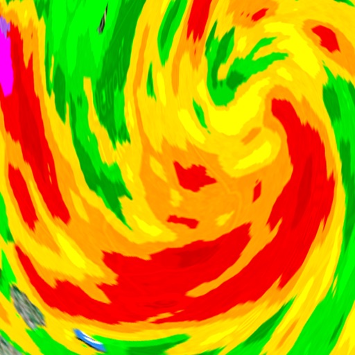
View real-time data with 250-meter resolution for the continental U.S. Access raw Nexrad Level 3 station data for detailed products. Switch between mosaic views and individual types like reflectivity, velocity, and polarization.
View forecasts by locking the screen using Live Activities. Display information on Dynamic Island with floating icons. Get accurate 15-day forecasts for temperature and wind direction.
Track movements with real-time radar and satellite data. View 18 world radars including GOES-19. Access customizable local radar using NEXRAD technology. Receive forecast and hazard warnings. See projected tropical cyclone paths.
View real-time images for current precipitation and severe alerts. Check hourly and daily forecasts for temperature, wind, and humidity. Receive notifications for changing conditions. Track rainfall intensity and duration.
Check current weather conditions by location or zip code. View 7-day forecasts. Receive severe weather alerts. livestreamed newscasts. Access real-time traffic updates and maps.
Receive live warnings with real-time tracking across all 50 states. View active warnings with polygon boundaries on maps. Access affected population and county data. Get daily activity summaries.
Explore animated datasets like Saturn’s rings, atmospheric storms, and climate change. Rotate and zoom 3D models. Compare data layers. Save and share visualizations. Learn about environmental processes through interactive imagery.
Access real-time weather data with high-resolution and satellite imagery. View current conditions and forecasts updated hourly. Add and save locations for personalized tracking. Receive storm alerts and localized station content.
The app provides hour-by-hour forecasts for the next day and week ahead. Users receive customized local forecasts and personal alert notifications for significant weather.
View current conditions and severe alerts for location. Access interactive radar to track storms and precipitation. Check hourly temperature forecasts and view a 7-day forecast. Receive continuous updates day and night.
The app provides hurricane tracking, radar, and local weather information. It features global and local radars, textual forecasts, projected and historic tropical cyclone paths, and sea temperatures.
Stay updated with real-time breaking from Columbus, Auburn, Opelika, Eufaula, Americus, LaGrange, and other local areas in Georgia and Alabama. Access weather forecasts and track storms using First Alert radar.
Monitor solar activity and its impact on Earth. Track earthquake events and high-risk areas. Access 80+ solar video streams and 30+ real-time data feeds. Receive alerts for potential events and planetary disturbances.