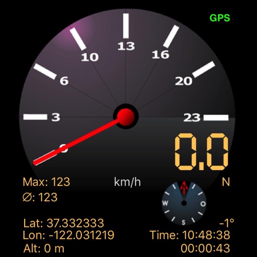
The app displays speed using GPS data, showing analog and digital readouts. It includes a compass, stopwatch, and supports multiple vehicle modes like Car, Airplane, and Sailboat.
by Kai Bruchmann★ 1.01 ratingsHealth & Fitness$0.99Data updated 2026-09-11
Navigation provides perpetual almanac and star finder chart with animation. Calculates lines of position, object data, and meridian passage. Supports running fixes and astronomical position calculations with multiple star observations.
Find stations, check availability, navigate to them
Locate nearby docking stations with distance and direction. View available and docks. Use full-map mode to check docks at destinations. Set a ride timer to track rentals and avoid late fees.
Track elevation and climb rate in real-time. Calibrate altitude settings and check GPS accuracy. Send location links via SMS for easy sharing and navigation assistance. View maps in web browsers for location tracking.
Display a compass overlay on the map. Navigate with turn-by-turn directions. Show current speed, altitude, and heading. Indicate device orientation with a level feature.
Provides real-time , atmospheric pressure, latitude, and longitude data. Users can switch between GPS and device altimeter for readings. Camera integration allows photo capture with location data overlay.
Use to determine directions and navigate. Rotate device 360 degrees for orienteering. Access camera preview to align with surroundings. Set bearings and track movement without GPS.
Record videos with speed, location, time, and date overlays. Live preview shows real-time footage except for settings overlay. Save videos to documents for download via file sharing or export to roll for viewing.