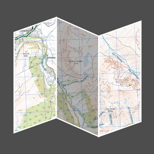
The app provides offline maps of Switzerland and the Alpine region, including hiking trails and public transport. It offers features like altitude display, distance measurement, and route recording for outdoor activities.
by Garzotto GmbH★ 1.01 ratingsNavigationFreeData updated 2026-09-10
Track location and movement with GPS. View USGS, US Forest Service, and Canadian . Log trails and waypoints. Navigate offline in areas without cell signal. Display elevation and terrain details. Share route data and historical tracks.
The app provides detailed hiking maps with marked trails and ski tracks. Users can find trip suggestions, cabins, and destinations, and save them to personal lists for planning outdoor adventures.
View real-time train departures and track changes at . Check arrival times, platform information, and service updates. Search for connections and navigate between using integrated data.
Track and visualize Apple Watch workouts on an interactive map. View GPS routes for running, walking, cycling, and hiking. Tap workouts to see detailed stats and replay sessions. Explore locations and relive journeys with map-based navigation.
Track altitude, atmospheric pressure, GPS coordinates, direction, speed, and air pressure in real-time. Share photos with altitude and location data on social networks.