The app provides offline maps of Switzerland and the Alpine region, including hiking trails and public transport. It offers features like altitude display, distance measurement, and route recording for outdoor activities.
by Garzotto GmbH★ 1.01 ratingsNavigationFreeData updated 2026-09-10
Monitor strength and network speed in real time. Locate towers using radar and view detailed information. Access 5G, 4G, and LTE coverage maps based on public data. Test network speeds and track performance changes.
View and navigate topographic maps offline with full resolution. Import Geospatial PDFs and align maps accurately. Rotate maps and reference them over Apple Maps. Track location and zoom in for detailed terrain features.
Measure land , distance, and perimeter using GPS. Create projects, add team members, and sync measurements in real time. Set permissions for different roles and collaborate on shared projects. Export data and view detailed reports.
The app offers race-related media including map data, weather, and social media feeds. It provides approximate map data and routes that are subject to change.
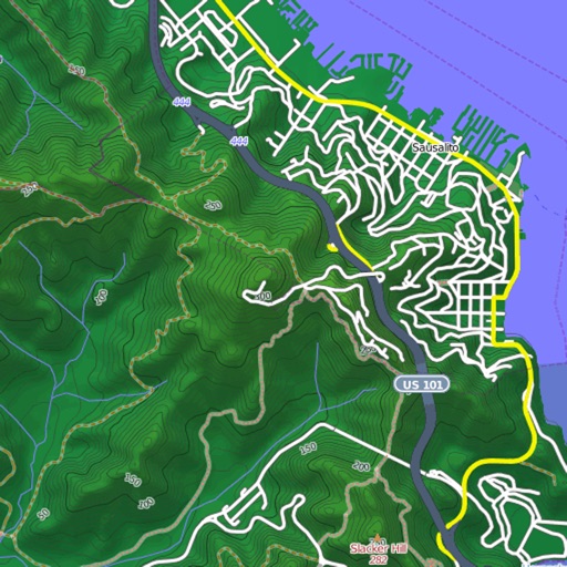
Navigation provides offline global maps for iPhone and iPad. Users can draw routes, view elevation profiles, and access detailed terrain maps without internet. Hikers and cyclists benefit from specialized route networks and clear map details.
Display speed and heading with GPS accuracy. Show location of nearby speed cameras. Change speed units, prevent screen lock, and enable speed camera alerts in settings.
The app transforms a smartphone into a navigation system for outdoor activities. It allows users to explore environments with maps, travel scenic routes, and practice activities safely.
Access offline topographic of New Zealand. Download and manage to conserve storage. Locate DOC huts, campsites, and hunting areas. Search for named locations. Import GPX routes and share via AirDrop. Measure distances on .
View and download detailed maps with topographical hillshading and contour lines. Store maps for offline use. Navigate using detailed terrain features. Find hiking trails, ski runs, and back streets.