

Apps Like SkyLogger for iPhone and iPad
Obtain and store flight data.
The app obtains and stores flight data, showing elapsed time, distance to take-off, ground speed, and climb rate. It supports competition data entry and displays direction and distance to waypoints, converting data to IGC, GPX, and KML formats.
SkyLogger screenshots
Ranked alternatives
Showing 381–400 of 1,000 ranked alternatives.

ShipXplorer · Ship Tracker
AirNav Systems LLC
Track vessel positions in real-time
Track vessel positions in real-time using AIS data. View latitude, longitude, speed, course, and draught. Identify vessels by unique ID. Access global coverage with accurate maritime tracking.

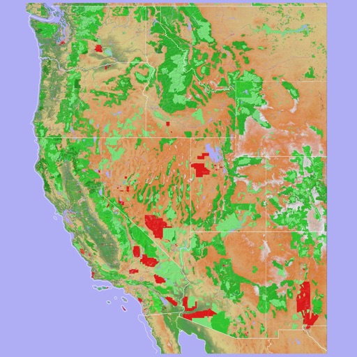
Scenic Map Western USA
Mark Granger
Explore 3D maps offline worldwide
Navigate using a 3D topographic map of the USA and Hawaii. Access offline vector maps for navigation in vehicles or outdoors. Switch to online maps for global coverage with automatic caching. Explore locations with zoom and scroll features.



Biking Beacn Pro
Emidio Cunha
Track workouts with voice cues and private
Tracks workouts with time, distance, elevation, speed, calories, cadence, and heart rate. Provides voice cues and heart rate zones. Detects accidents and sends SMS with location. Offers private live tracking on a password-protected site.


Genesis PRO
Aircraft Performance Group, LLC
Plan flights, track performance, access real-time data
Plan flights with real-time performance data and predictive analytics. Input aircraft details to calculate fuel consumption and optimal routes. Access weather information and regulatory data.

FlightSight
Timothy Kelley
Determine flight path relative to objects
Determine flight path relative to objects by positioning the sight target on cloud tops, mountain passes, or other aircraft. Receive visual indication of whether the object is higher or lower and the degree difference.

Air Map Israel
Ofer Raanan
Locate aircraft and track position
Displays device location as a plane with speed, direction, altitude, and geo data. Allows adding markers at specified distances or times along the flight path. Tracks movement on the map.



Dashometer-Lite
Ian Ray
Track location, speed, and heading in real-time
Navigation displays real-time telemetry data including location, heading, altitude, speed, distance, and elapsed time. Users can customize display modes, units, and configurations by tapping or long-pressing values.

Sochi Ski Jumping 3D - Winter Sports Free Version
Michal Stalewski
Ski jumping simulation on mobile platform.
The app simulates ski jumping competitions on normal and large hills. Players must execute start, jump, flight, and landing effectively to achieve high scores.

Best Route Optimizer
Oliver Kuehne
Find the optimal route now.
The app calculates an optimal route for multiple destinations, saving users time and reducing travel distance. It allows destination entry via contact list, map, addresses, GPX, or photos, and exports routes to various navigation apps.
John Wayne Airport SNA + Radar
Renji Mathew
Track flights and manage trips easily.
The app provides live arrival and departure boards with flight tracking for John Wayne Airport. It offers tools to find alternate flights and includes a packing checklist for travelers.

How we rank alternatives
Apps are ranked by functional similarity, category fit, rating confidence, and popularity.