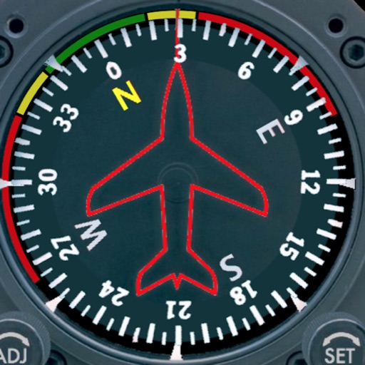
Displays a photorealistic -style indicator with both analog and digital readouts. Users can toggle rotation lock, simulate the instrument indoors, and view improved graphics. Supports latest iOS versions and includes bug fixes.
by Sean Flanagan★ 2.212 ratingsNavigation$0.99Data updated 2026-11-09
Access aviation courses, including FAA handbooks, FAR/AIM, and practice tests. Watch HD/4K videos. Sync with Apple devices. Track progress through interactive lessons. Earn a certificate with structured course content.
Learn and practice IFR flying with a simulator that allows setting up custom navigation aids, aircraft position, speed, and movement. Adjust runway direction, wind conditions, and use instruments like VOR, HSI, DME, and RMI.
Displays current speed, longitudinal and transverse slope, and ascent/descent percentages. Switch between normal and HUD modes for windscreen reflection. Verify vehicle speed during cycling, running, flying, or sailing.
Provides GPS altitude and pressure altitude readings. Displays speed in kph, mph, and knots. Measures barometric pressure in multiple units. Tracks acceleration in G forces. Shows location, magnetic, and true heading.
GPS UTM displays precise UTM grid references with 1 metre, 10 metre, and 100 metre formats. Locate position on topographic maps using global datums like ED50. Share coordinates with other apps or users.
AudioTools offers SPL measurement, RTA analysis, FFT visualization, and speaker polarity testing. Includes a generator, scope, CLF viewer, and recorder. Allows adding optional modules for advanced acoustic analysis and customization.
– uses AR to display a digital protractor and on the device screen. Users can precisely, calibrate the , and save measurements. The supports both indoor and outdoor use for accurate readings.
Track routes, find waypoints, and navigate offline
Navigate outdoors with offline GPS maps and real-time augmented reality. Track waypoints and custom locations. Use a gyrocompass, speedometer, altimeter, and inclinometer. Find celestial bodies and measure angles.
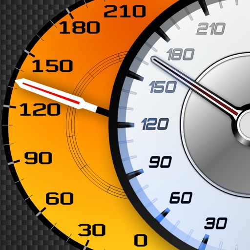
Track vehicle speed using GPS or simulation mode. View detailed speedometer displays with realistic graphics. Hear authentic engine during acceleration. Explore speed data from popular supercars.
Monitor real-time GPS accuracy and switch between latitude/longitude and DMS formats. Copy with one tap. Toggle between metric, imperial, and nautical units. View location data quickly with a simple, reliable interface.
The app allows real-time parameter adjustments for DJI A2 Flight Controller Systems and DJI Ronin and Ronin-M. It supports Bluetooth 4.0 and displays real-time flight data.
Display data from wireless devices like iLevil3 or B.O.M. alongside navigation apps. Customize instrument panels and arrange modules for real-time flight information.
Monitor speed with unit switching between KM/H, MPH, and KTS. View analog or digital speedometer displays. Track journeys with detailed logging and route mapping. Integrate music playback and receive real-time weather updates.
View real-time GPS maps and switch between map and views by holding the device. Track heading, , altitude, latitude, longitude, speed, and temperature. Use a for accurate navigation and monitor speedometer and temperature readings.
Displays a 24-hour analog with a sweeping second hand. It shows GPS coordinates, heading, and compass bearing based on device orientation. It uses location data in the foreground without saving or transmitting personal information.
Provides GPS navigation with fast lock time and precise parameters. Supports multiple systems including GPS, Galileo, GLONASS, and QZSS. Diagnoses location issues and suggests fixes. Includes latitude, longitude, and WGS84 by default.
Practice instrument flying with interactive modules
Learn instrument flying with interactive modules for ADF/RMI, VOR/ILS, HSI, and IFR procedures. Practice holding patterns and entries through animations and exercises. Use a built-in IFR simulator for training.
Track cycling performance with real-time speed, distance, and route data. Choose from digital, analog, or map displays. View ride history and manage past rides. Automatically pause timing when stationary. Swipe to switch between displays.