
amuz
James Zellmer
Explore locations with 360 images
Explore travel destinations by swiping through photos, videos, aerial views, and 360-degree images. Save favorite locations and share content directly with social media platforms.

Explore 3D terrain and buildings
Create and collaborate on detailed maps using satellite imagery and 3D terrain. Explore cities with 360° Street View. Add annotations and share maps with others. Navigate streets and view neighborhood details.
Showing 321–340 of 1,000 ranked alternatives.
James Zellmer
Explore locations with 360 images
Explore travel destinations by swiping through photos, videos, aerial views, and 360-degree images. Save favorite locations and share content directly with social media platforms.

Ansgar Vollmer Und Till Knorr
Plan routes, view maps, and track transfers
Navigate public transport with detailed and subway maps. Find routes offline without internet. Plan trips by viewing fastest paths and transfer points. Access station listings for quick navigation.

Stuck at Home, LLC
Track routes and log finds with GPS
Track routes using GPS navigation, pause and resume routes, and view route statistics. Log finds with details like name, category, and location. Take photos of finds. Toggle between satellite, hybrid, and standard maps.

GijikGumba Corporate Solutions LLP
Measure land and perimeter
Measure land , distance, and perimeter using GPS and satellite maps. Define boundaries by placing points or walk the perimeter for hands-free tracking. Save and export measurement data for professional use.


Lucas den Otter
Route on map with GPX files
Import GPX files to view and follow routes on maps. Navigate trails, tracks, and paths with turn-by-turn directions. Save and share custom routes. Adjust map settings for different terrain types. Sync with fitness devices for real-time tracking.
Myapps OU
Explore landmarks with 360-degree views
Explore world landmarks with 360-degree views of famous sites like the Eiffel Tower and the Taj Mahal. Use the AI Tour to learn about history, architecture, and cultural significance. Bookmark locations for future reference.


RoamPath, LLC
Walk through cities and learn about landmarks
Walk through cities like Paris, Chicago, and New Orleans while taking local walks. Learn about landmarks along the way. Track steps, set goals, and receive fitness motivation through interactive city exploration.

Chris Hager
Navigate with latest satellite imagery
Navigate using high-resolution satellite imagery for Bay and Copper River watersheds. Access updated for accurate route planning. View real-time environmental changes. Mark and save fishing spots. Share locations with crew members.
Makoto Sato
See through the earth's surface.
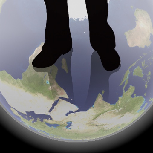
The app shows a transparent view of the earth, allowing users to see the other side of the world beneath their feet. It displays the positions of major cities on a reversed blue marble through a camera overlay view.


Tigran Mkhitaryan
Areas and routes on the map
Distances, areas, and routes on maps using standard, satellite, terrain, and hybrid views. Calculate total area between points or along a route. Display coordinates in UTM and MGRS formats.

AccelBit Inc.
Detailed maps for outdoor and work.
The app provides detailed maps for outdoor activities and work, including terrain, waterways, and property data. It offers features like offline maps, nautical charts, and GPS positioning for navigation.

William Hause
Track routes, mark paths, and review
Track routes by marking paths with . Log movements in wilderness areas. Create neighborhood maps with visited streets. Review completed routes offline. Store data locally without cloud syncing. Navigate without internet or map access.

Apps are ranked by functional similarity, category fit, rating confidence, and popularity.