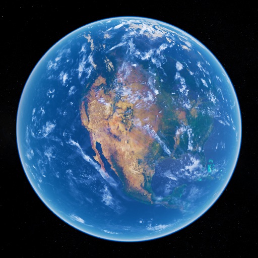
Create and collaborate on detailed maps using satellite imagery and 3D terrain. Explore cities with 360° Street View. Add annotations and share maps with others. Navigate streets and view neighborhood details.
by Google LLC★ 4.047,610 ratingsTravelFreeData updated 2026-11-14
View interactive maps of any city without an internet connection. Download maps for specific locations while online. Navigate streets, search for points of interest, and access map details .
Explore cities with offline maps and AR navigation. Find points of interest like restaurants, museums, and transit stops. View daily itineraries and budget-friendly accommodations. Get shopping, nightlife, and safety tips.
Track game sightings and movement on interactive maps. Mark hunters and bagged game with custom icons. View detailed terrain and trail information. Save and share notes and locations. Sync data across devices for real-time updates.
Explore cities with augmented reality navigation and offline maps. View interactive points of interest including public transport, restaurants, and museums. Access daily itineraries, budget-friendly accommodations, and shopping guides.
Explore locations with augmented reality overlays. Access offline maps and detailed regional guides. View interactive points of interest including transportation, dining, and attractions.
Track satellite passes using augmented reality. View the International Space Station, Starlink Trains, and other satellites in real time. Overlay positions on the night sky via iPhone or iPad camera.
Create and manage travel tracks with waypoints. Import and export maps in .gpx format. Use with unlimited storage. Access background barometer and pedometer data. Display color gradients for speed and height.
Explore San with detailed historical insights and cultural highlights. Discover key landmarks, local events, and dining spots. Navigate the city using interactive maps and street car routes. Learn about the Gold Rush era and modern tech innovations.
Navigation provides GPS tracking, map navigation, and route planning. Includes tools, field manuals, and live conflict updates. Users can access guides, track locations, and receive real-time news.
The app calculates surface areas, fields, plots, and dimensions for various field work needs. It measures distances, perimeters, and areas with precision over satellite images.
Explore 360º aerial panoramas of global destinations. Navigate through spherical images with touch controls. Save and share panoramas. Access detailed location information and tips.
View real-time data with 250-meter resolution for the continental U.S. Access raw Nexrad Level 3 station data for detailed products. Switch between mosaic views and individual types like reflectivity, velocity, and polarization.
Track location in real time without cellular service or WiFi. Start and stop tracking instantly without login. View maps, waypoints, and route history. Export data in multiple formats. Share tracks with others.