Log time segments and calculate total time with Time. View block and duty intervals to manage scheduling. Perform preflight performance checks using aviation-specific calculations.
Plan and navigate flights with interactive aviation maps featuring high-resolution worldwide coverage and offline support. Track real-time GPS positions with moving maps.
The app displays aviation weather observations and forecasts using a maps-based interface. Users can view METARs and TAFs in coded or translated formats, with color-coded pins indicating forecast or observation availability.
Calculate the Great Circle between any two airports worldwide. Search by name, ICAO, or IATA code. View accurate measurements and flight path information.
Track live air traffic with real-time updates on aircraft location, altitude, speed, and direction. Search for specific planes by identifier. View global paths and movement details. Receive instant notifications on status changes.
Access real-time weather data including METARs, TAFs, and NOTAMs. View weather radar and decoded reports for quick briefings. Set up widgets and watch complications for updates. Get live TAF summaries for immediate forecast insights.
The app decodes SNOWTAM and MOTNE reports, providing quick access to runway conditions and notification fields. It also calculates cold temperature altitude adjustments using a formula based on Transport Canada's chart.
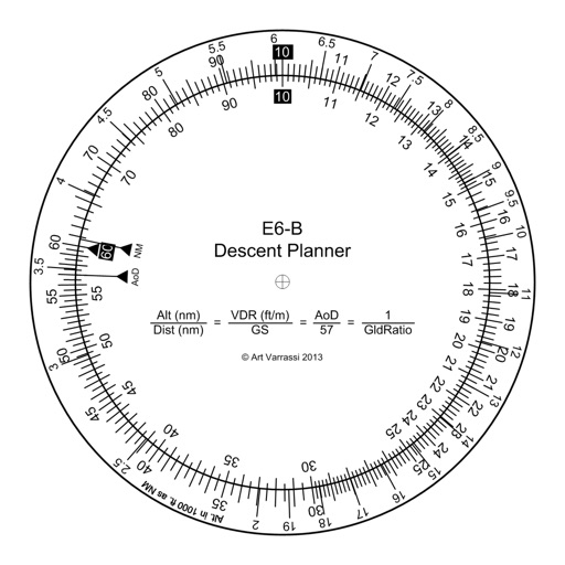
The app offers a functional circular slide rule for descent planning. It calculates top of descent distance, angle, rate, glide ratio, and maximum glide distance.
Track real-time positions and receive updates on status. View paths, altitudes, and speeds. Monitor family or friend flights for arrival and departure times. Set alerts for changes and airport pickups.
The app provides aviation weather information, including METAR, TAF, and SIGMET data. Users can view current weather on a map and access most data offline for use during flights.
The app calculates temperature-corrected altitudes for various instrument approaches. It integrates weather, runway, and de-/anti-icing data into a clear workflow to reduce workload and improve situational awareness.
Plan and manage flights with auto-routing and real-time data. Sync flight details between devices. View weather, airspace, and airport information. Log flight details and track progress. Share flight plans with others.
Plan and navigate using an interactive moving map with aeronautical charts, satellite, or vector map backgrounds. View real-time flight data, track position, and adjust routes. Access up-to-date weather and airspace information.