Apps Like Speedometer X GPS speedometer for iPhone and iPad
Track speed, distance, and average speed
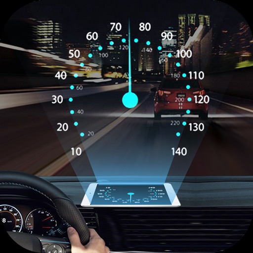
Measure speed using GPS with a digital , head-up display projection, and tracking of average speed, distance, and travel time. Log data offline, adjust settings, and access a user-friendly interface for one-handed use.
by Ruslan Kimaev★ 4.52 ratingsNavigationFreeData updated 2026-09-06
The app displays map coordinates in multiple grid formats including British Grid, Irish Grid, MGRS, and UTM. It also shows Latitude & Longitude in decimal and sexagesimal notation for global use.
Measure internet speed with download and upload tests. Check ping, jitter, and packet loss. Provide detailed network performance data. Compare results across fixed, cellular, and WiFi connections. Display measurements in clear, easy-to-read formats.
View and analyze GPX and KML files to explore existing tracks or plan new routes. Display detailed maps with waypoints, paths, and elevation data. Share tracks via email or social media. Sync with GPS devices for real-time navigation.
Manage GPS trackers with real-time tracking and push notifications. Set geofenced areas and no-go zones. Receive alerts for low battery, SOS, and speed limit exceed. View detailed history, reports, and device information.
Track cycling performance with real-time speed, distance, and elevation data. Log rides, set goals, and view detailed maps. Sync with Apple Health and receive route guidance. Monitor heart rate and cadence. Export data for analysis.
Navigate using real-time traffic updates and turn-by-turn directions. Access points of interest, search for locations, and view maps. Switch between portrait and landscape modes. Control audio playback and manage call functions.
Track real-time locations of people or devices with accurate GPS data. Set personalized alerts and geofencing boundaries. Share location updates with contacts. View historical movement data and manage tracking settings remotely.
Provide real-time turn-by-turn with updates. Plan routes and view alternative options. Adjust settings for preferred roads or avoid tolls. Share locations and receive directions via voice or map. Sync with devices for offline use.
The app records and exports user trips for geo-tagging or trip management. It displays live paths on a map and provides details like speed, distance, and altitude.
Plan and navigate cycling routes with personalized itineraries based on type, speed, and route preference. Access real-time GPS navigation, track statistics, and participate in challenges.
Projects speed, clock, weather temperature, cruise control, and now playing song information onto the windshield when iPhone is rotated and placed near the windshield. Displays data in landscape mode for easier visibility while driving.