Use augmented reality to areas like fields, plots, parking lots, or properties. Tap to place markers and calculate distances. Export measurements to Map Pro or WheelitOff for further use. Accuracy improves with lidar-enabled devices.
Magnify text and objects with adjustable zoom levels. Use flashlight mode for better visibility. Capture and save photos to your device. Simplified interface for quick and clear viewing.
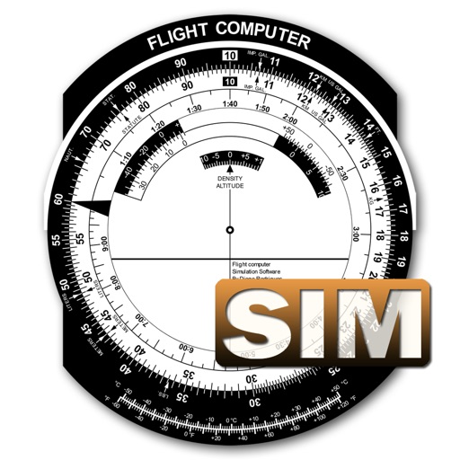
A utility simulates an E6B slide ruler for aircraft pilots. Perform conversions, wind corrections for low and high speed. Rotate, slide, and pinch zoom for precise control. Includes three calculation modes.