

Apps Like Laser Level 2023 for iPhone and iPad
Laser Level 2023 screenshots
Ranked alternatives
Showing 221–240 of 1,000 ranked alternatives.


GPS Field Area Measure on Map
Anastasiia Kulias
Land areas with GPS
Calculate land using GPS coordinates. Draw shapes on maps to fields or plots. Add GPS stamps to photos with location, time, weather, and compass data. View live maps and magnetic information.

Measuring tape Room scanner
Irina Metelkina
Measure surfaces, rooms, and objects
Measure surface areas by capturing points on a flat surface via camera. Calculate or object dimensions with customizable shapes. Save and share measurement results. Sync measurements across devices.

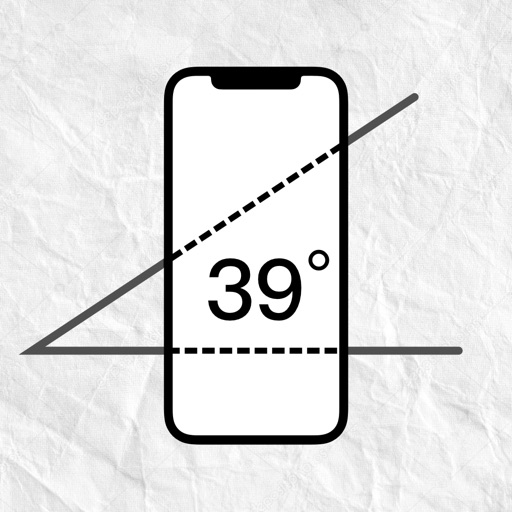
Protractor Edge - Clinometer
嵩 张
Measure angles with device and lines
Measure angles by placing the device on the desired surface and adjusting two lines to align with the angle's sides. Display degrees in real time without needing photos or overhead placement.


Meter | متر
Mubarak Hamad Alseif
Measure accurately, save data, switch units
Measure distances and areas with precise tools. Use the ruler and square area functions. Change units of measurement. Save measurements for later. Access tips and advice. Remove ads with a subscription. Measure height with the professional package.

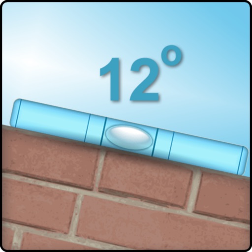
Bubble Level XL
Raffaele Amuso
Measure tilt of an edge.
The app measures the tilt of an edge in degrees using a mobile phone or tablet. Users can align objects with this tool.

Ruler, level, tape measure
Elard Tissot
Objects with AR precision
Objects using an augmented reality camera interface. Select units like inches, feet, centimeters, or meters. Capture and save measurements. Share results via email or messaging. Sync measurements across devices.

Measure Area
William Coates
Shapes, edit edges, copy values
Lets users calculate the , perimeter, and length of horizontal or vertical shapes. They can edit or delete edges, take photos, and copy measurements to the clipboard.

FieldMove Clino
Petroleum Experts Limited
Record orientation and location data
Record orientation data of planar and linear features using GPS and orientation sensors. Measure bearings and inclinations. Save and export data for analysis. Sync with devices for fieldwork efficiency.
How we rank alternatives
Apps are ranked by functional similarity, category fit, rating confidence, and popularity.