

Apps Like IGNIS | Wildfire Operations for iPhone and iPad
Overlay maps, access layers, track fire weather
Overlay GeoPDF maps on dynamic base maps. Access curated wildland fire layers. Use the Fire Weather Dashboard for forecasts. View fire-specific symbology and reference documents.
IGNIS | Wildfire Operations screenshots
Ranked alternatives
Showing 101–120 of 1,000 ranked alternatives.


TripView
TripView Pty Ltd
View timetables and track services offline
View trip times with a single tap for saved routes. Access real-time delays and vehicle maps. Check trackwork and service updates. Use interactive maps to plan trips. Access timetable data offline.


Paddle Ways - Lets Go Paddling
onwater llc
Plan trips, track conditions, find spots
Find and plan trips with real-time water condition updates. Search for lakes, rivers, and kayak parks. Set trip dates and receive weather forecasts. Track progress and save favorite locations. Share routes and access safety tips.
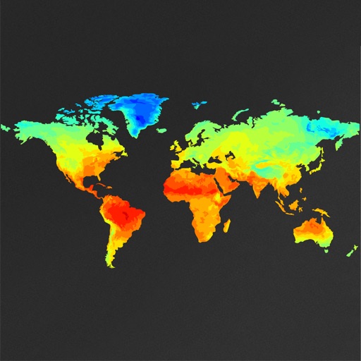
WeatherMap+
Michal Frankowski
Pan and zoom global weather maps
View global weather data with interactive map panning and zooming. Switch between weather layers for current and forecasted conditions. Track detailed weather changes up to 0.25 degrees on land or sea.

Airmate
Myriel Aviation SA
Plan flights, track weather, view maps
Plan flights with detailed weather data, airport information, and NOTAMs. Overlay georeferenced charts on aviation maps. Access IFR and VFR plates for over 200 countries. Manage and download airport plates in advance.

No Roads
i3 Product Development, Inc.
Map trails, record tracks, explore offline
Navigate off-road trails by dropping waypoints and recording tracks. Explore curated trails and points of interest. Receive real-time hazard alerts and trail conditions. Download maps for offline use. Access detailed weather and elevation data.

Deer Hunters MoonGuide 3.0
Deer Hunters Moon Guide LLC
Track moon phases and hunt seasons
Track lunar phases and cycles to plan hunting trips. View days, times, and locations for hunting. Set calendar reminders for optimal hunting periods. Sync with other hunting apps and share data with fellow .

Fire Island App
East End Web Solutions, Inc.
Fire Island travel made easier now.
The app provides ferry schedules and travel alerts for Fire Island communities. It also includes a business directory, event calendar, and maps for users.


Flight Tracker - Plane Status
Discover Ukraine LLC
Track flights and check arrival times
Track departures and arrivals with real-time updates. View delays, cancellations, and gate information. Find terminal details and receive notifications for schedule changes. Check airport maps and locate security checkpoints. Share with contacts.

Wellsite Navigator
Wellsite Navigator, LLC
Navigate oilfields and well sites easily.
The app provides navigation to well sites and oilfields. Users can search, map, and receive turn-by-turn guidance on lease road maps.


RipCharts
RipCharts, LLC.
Track fish activity and view maps
View and analyze satellite imagery for fishing conditions. Locate and track fish populations. Set waypoints and save maps. Share images and data with other users. Receive real-time updates on weather and currents.


GPS Emu - Location Tracker App
MU SI DO
Overlay photos on dynamic maps
Lets users overlay photos on Apple Maps for real-time navigation. Photos rotate and scale with movement. Users can track GPS paths, tag locations, and mark waypoints.

Les 3 Vallées
ASSOC LES TROIS VALLEES
Find resorts, maps, and schedules
Access real-time ski lift and slope status across seven resorts. View geolocated maps and grooming updates. Get 3-day weather forecasts. Find open connections and plan trips with webcams and event schedules.
How we rank alternatives
Apps are ranked by functional similarity, category fit, rating confidence, and popularity.