Apps Like IGNIS | Wildfire Operations for iPhone and iPad
Overlay maps, access layers, track fire weather
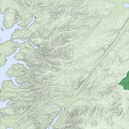
Overlay GeoPDF maps on dynamic base maps. Access curated wildland fire layers. Use the Fire Weather Dashboard for forecasts. View fire-specific symbology and reference documents.
by Ignis Technologies, Inc★ 4.918 ratingsNavigationFreeData updated 2026-09-06
The app displays high-resolution rain cloud information overlaid on a map of Japan. Users can also check lightning information and look up weather forecasts for any location.
View topographic of with detailed scale options and lake depth information. Access property data via in- purchase. Download for offline use. Navigate using precise map data and location features.