
Pocket3D
Capture measurements, track progress, generate topo surfaces
Topcon Positioning Systems, Inc.
iPhone Screenshots


iPad Screenshots
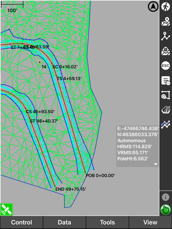

Description
Manage construction sites with real-time cut-fill data and measurement capture. Generate topo surfaces and verify earthmoving volumes. Track progress and collect as-built data for quality control.
Pocket 3D simplifies digital site management and site surveys for contractors. With full site visibility, crews can access real-time cut-fill data, capture measurements, and quickly generate topo surfaces to boost their productivity.
Site managers and foremen can easily verify earthmoving volumes, grade verification, collect as-built data and track progress to ensure quality control.
With accessible calculation wizards and in-field design tools, complex tasks can be completed much faster and more efficiently.
Pocket 3D is also Sitelink3D-ready, allowing seamless two-way communication between GNSS rovers and team members. Site plan updates, localizations, and crew management happen instantly, keeping field crews and office leaders connected in real time.
App information from Apple App Store. Pocket3D and related trademarks belong to Topcon Positioning Systems, Inc..