Save locations with exact GPS coordinates and altitude. View real-time weather and wind data. Use the compass for accurate direction tracking. Organize saved points and share coordinates directly.
The app provides location information, including address and coordinates, with a compass and map view. It also features a seismometer to alert users of earthquakes and allows sharing of precise locations via email or message.
Monitor with real-time updates. Set configurable limits with four presets. Alert with color change and sound when exceeding limits. Emit loud sound for speeding alerts. Track during driving. S.O.S. mode for flat tyre emergencies.
View and convert geographic across multiple formats and datums. Manage locations with an intuitive interface. Display current location at the intersection of two grey lines. Export in various global systems.
Check current using internal GPS and Wi-Fi data. View latitude and longitude in decimal degrees, degrees decimal minutes, and degrees minutes seconds. Suitable for trips, sports, geocaching, and solo travel.
Track elevation and atmospheric pressure with and barometer. Use compass for direction based on satellite location. Access weather updates and speedometer. Log steps with pedometer. View maps and use binoculars for scouting.
Provide accurate GPS coordinates and altitude readings. Display direction and map integration. Enable location-based reminders and track movement routes. Adjust settings for different navigation modes.
The app provides altitude readings using GPS, Aster, or barometric data. It functions offline for wilderness adventures and includes features like a speedometer, step counter, and flashlight.
Allow users to explore locations without an internet connection. They include detailed global with millions of points of interest. Users can download for use and bookmark favorite locations. GPS tracking enables recording of travel routes.
Displays current location with address, latitude, longitude, altitude, and time. Includes AR navigation and satellite map views. Share location data. Choose from 4 theme colors. Automatically updates location and unlocks screen.
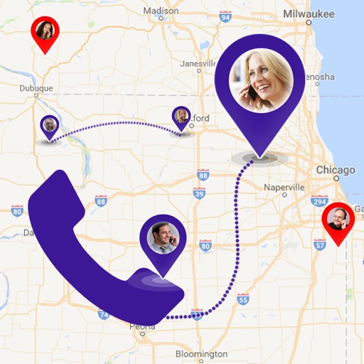
Find details including country, state, city, and area. View on a map. Identify telecom operator and retrieve caller information. Search any for and network details.
Know current coordinates and address. Save and view favorite locations with categories. See routes to saved or searched locations from current position. Share current or saved locations via Mail, SMS, and WhatsApp.
View topographic with hill-shading and weather updates. Navigate using GPS and map layers. Log trails, share routes online, and plan backpacking or off-roading adventures. Track elevation and explore public land or custom trails.