View detailed maps of California Marine Protected Areas with GPS navigation. Locate yourself relative to MPAs, check fishing regulations, and identify legal and restricted zones. Access offline maps and information without internet.
View class schedules and book rides. Change or select class spots. Manage account details and track progress. Sync with wearable devices to monitor performance metrics. Receive notifications for upcoming sessions and updates.
Play ambient from various global locations. Set a sleep timer to stop playback after falling asleep. Use night mode for dark environments. Lock screen and save battery by running audio in the background.
Provides real-time barometric pressure and altitude readings using device sensors. It offers 10-day forecasts and migraine trend tracking. Users can view historical data, export files, and access offline features.
Access sermons and devotional content. Take notes during sessions. Share personal stories with the . Make donations and participate in activities. Receive updates and announcements.
Calculate age in years, months, weeks, days, hours, minutes, and seconds. Track days left to next milestones. Receive notifications when milestones are reached. Display age with a widget.
Plan trips to parks with downloadable , guides, and park brochures. Access 75+ national and state parks, 150+ from various agencies, 100+ campgrounds, 1,600+ trails, and 72,000+ points of interest.
Receive daily high-quality wallpapers from licensed Creative Commons Zero photos. Browse and download images optimized for all iPhone and iPad sizes. View minimalistic, clean designs without additional features.
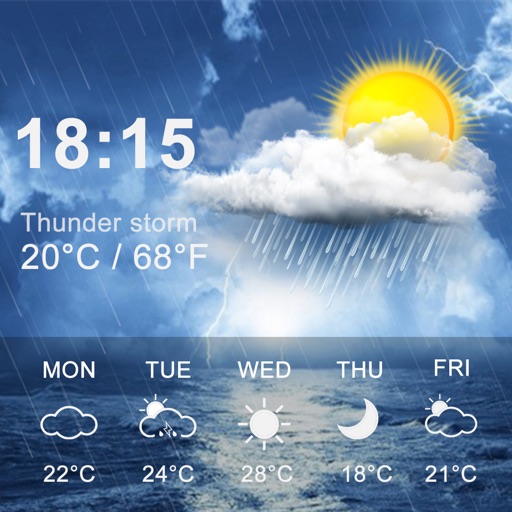
Provides 3-day forecasts and 14-day outlook. Displays current conditions, temperature, and precipitation. Includes atmospheric pressure and wind speed. Features widgets for quick access. Automatically detects location for accurate forecasts.
View media content, learn about events, make donations, and explore community service opportunities. Access event details, watch videos, and connect with resources.
Automatically generate round-trip routes based on distance preferences. Manually create custom routes prioritizing nature, water, or well-lit paths. Avoid busy roads and hills. Export routes in GPX or KML formats for use with mapping apps.
Explore tarot-style that reveal hidden aspects of any subject. Draw to uncover spots and symbolic insights. Reflect on interpretations and consider how revelations impact personal awareness and decision-making.
Plan trips to parks with downloadable and guides. Access 70+ parks, state parks, monuments, and forests. View 200+ from national agencies. Use motor vehicle use and OHV . Find camping locations and trail details.