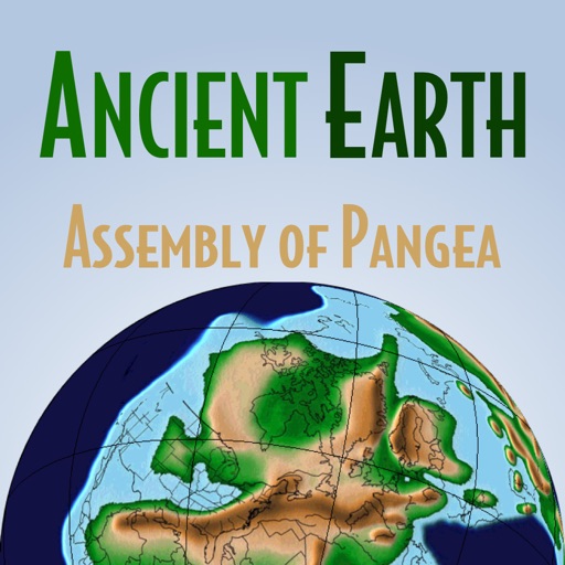
The app illustrates continental collisions that assembled the supercontinent of Pangea. Users can observe the formation of mountain ranges, the closing of ocean basins, and the waxing and waning of polar ice caps.
Identify fish species using camera input. View size and bag limits based on GPS location. Check supported regions and upcoming additions. Manually search all species and fish rules. Subscribe for additional features.
Explore detailed with zoom functionality. View country profiles and compare locations. Access about geography, culture, and history. Search for places and view satellite imagery. Save favorite locations and share with others.
Speech in real time to and from any language. Speak into the to have converted and displayed as text. Listen to translated audio playback. Share translations via text or social media. Support for over 100 languages.
Look up definitions, synonyms, and antonyms for English words. Explore word origins, parts of speech, and example sentences. Navigate through categories like nouns, verbs, and adjectives with linked cognitive synonyms.
The app provides illustrated entries for Nepenthes species, including pitcher photographs, descriptions, distribution, and field notes. Users can filter by region and pitcher type, save selected, and compare species.
Explore celestial objects with an augmented reality interface. Point your device at the sky to view stars, planets, and constellations. Learn about astronomical data and history. Save and share observations. Sync with real-time sky maps.
View phases and cycles for any location and date. Track rise and set times, altitude, illumination, and distance. Access detailed orbital data and stripe for full cycle visualization.
Monitor real-time weather updates, track storms, and view earthquake data globally. Access marine conditions for Atlantic and Pacific oceans. Subscribe to remove ads and get forecasts for tropical cyclones and hurricanes.
Track tagged sharks globally in real-time. Access detailed profiles of over 20 species. Learn about conservation efforts and species-specific facts. Requires active internet connection for real-time data and database access.
Identify species using photos. Access detailed information about each species. Ask questions about diet, origin, and diseases. Provide expert insights for fishing enthusiasts and marine biologists.
Take a photo or upload an image of a . The uses AI to identify the species instantly. It provides detailed information about the identified , including characteristics and habitat.
Explore geological timelines with interactive maps showing continent movements. View animations of Pangea breakup and mountain formation. Learn about key events in history through detailed illustrations and timelines.
Monitor solar activity and its impact on Earth. Track earthquake events and high-risk areas. Access 80+ solar video streams and 30+ real-time data feeds. Receive alerts for potential events and planetary disturbances.