Allows users to input measurements and add descriptions for items. Assign items to specific rooms and track job progress. Streamline workflows with organized lists and accurate data entry.
by Timothy Thompson★ 5.03 ratingsProductivityFreeData updated 2026-09-06
Use AR technology to measure lengths, heights, and angles by pointing the camera at objects. Capture and save measurements with the photo . Check alignment using the built-in level tool.
Ambient noise levels with a simple interface. Display one-minute average decibels in large text. Features clean design and free access. No additional functions or settings provided.
Track and measure roof dimensions using a sketch tool and positioning features. Preview roofs on maps or import images/blueprints. Save measurements and label lines. Take and save photos for documentation.
Measure using camera overlay and CoreMotion for accurate degree and rise/run calculations. Organize measurements by job or client. Capture and annotate photos. Generate client-ready PDF reports.
The app automates mobile workflows by enabling remote workers to collect data and access company information on mobile devices. It facilitates automatic sharing of results with back-office systems, cloud services, and people.
Create shopping lists with smart autocomplete and pre-organized grocery items. Add custom categories and track progress with visual completion rings. Check off items as you shop and share lists with family.
Create and manage a shopping with categories and item additions. Set reminders and track completed items. Sync across devices and access exclusive features with a subscription.
Create and organize grocery lists using voice input or item history. Categorize and sort items for easy navigation. Share and sync lists across devices or with others. Add notes and mark items as purchased.
Create and manage task lists with AI-powered reminders. Add items, tasks, or reminders and receive notifications based on location. Tap a location to generate an on-location . Sync across devices and set recurring alerts.
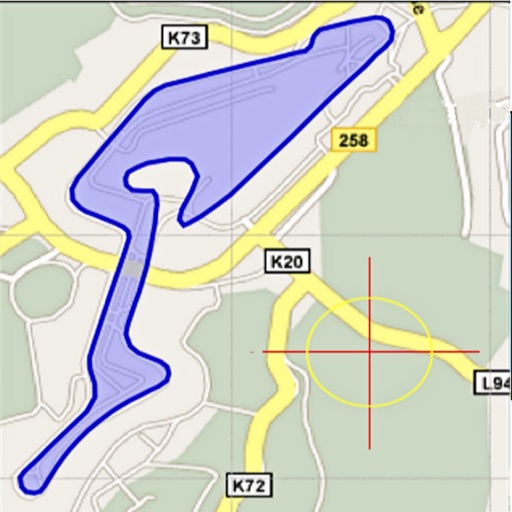
Area, lengths, and angles on maps using an interactive crosshair. Trace outlines to create connected points, updating area and perimeter in real time. Adjust radius for scaling features. View dynamic length and angle as you move the crosshair.