The app functions as a wireless Bluetooth Low Energy scanner for iPhones, iPods, and iPads. It discovers iBeacon and Eddystone beacons, displaying their identifiers, signal strength, and last discovery time.
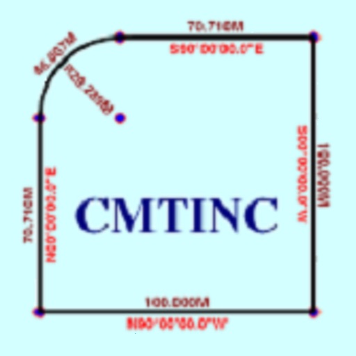
The app converts real property descriptions into boundary maps. Users enter angles and distances to draw property boundaries, displaying closure error, total area, and perimeter.
View and analyze geographic data offline without GIS software or training. Download topographic, street, and satellite maps. Import ESRI Shapefiles and KML/KMZ files. Display attribute fields like descriptions, photos, addresses, and dates.
Monitor personnel and apparatus status in real time. Assign tasks and track resource availability. Send alerts and communicate within the team. Log incident reports and manage schedules. Sync with emergency management systems.
Create geotagged field reports with photos, videos, and voice recordings. Share reports instantly with team members. Record real-time locations using GPS. Track and share observations during emergencies.
Block ads and scripts in on iOS 9. Load websites faster by removing banners and unnecessary content. Prevent data usage from ads. Manage browsing speed and reduce distractions.
Track time spent at specific locations using GPS to automatically record Check In and Check Out events. Calculate attendance duration for individual locations, weeks, months, or totals.
Manage sales and inventory with table layout customization and order tracking. Send orders to kitchen and process check-outs at tables. Email receipts and manage product inventories. Track sale histories and today's special items with images.