

Apps Like MicroPilot HorizonMP Drone GCS for iPhone and iPad
MicroPilot HorizonMP Drone GCS screenshots
Ranked alternatives
Showing 1–20 of 1,000 ranked alternatives.







AutoPylot For Drones
Autopylot, INC
Manage drone flights and airspace permissions
Manage drone flights with FAA-approved B4UFLY and LAANC services. Request airspace authorizations, check flight permissions, and plan safe operations. View real-time flight data and receive alerts for restricted areas.


OpenSky - App for Drone Flyers
Wing Aviation LLC
Plan flights with airspace rules
Check flight rules and airspace restrictions in the U.S. and Australia. View compliance maps from aviation authorities. Plan flights using Google Maps. Access controlled airspace with LAANC. Set flight locations and receive real-time updates.

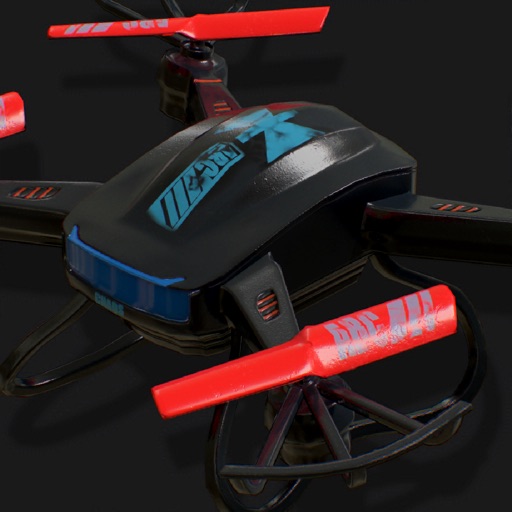


Drone Buddy: Fly Drone Safely
Kirway LLC
Access weather, wind, and no-fly zone data
Access real-time weather radar and wind maps to plan flights . View rain radar and no-fly zone data. Check wind patterns and atmospheric conditions. Navigate flight areas with accurate geographic insights.

Dronelink Flight
Dronelink LLC
Fly missions with automated workflows and manual
Control drone flights with automated missions, semi-automated workflows, and manual controls. Set waypoints, orbits, and vertical mapping. Preview missions in 3D. Support for DJI and Autel drones.

GPS Fields Area Measure Map
Rento UAB
, track distance, share results
Distances, perimeters, and areas using GPS. Place markers on or objects. Share results with colleagues. Calculate quantities like spray or fertilizer needed. Export measurements for record-keeping.


NAV Drone
NAV Canada
Schedule flights and review guidelines
Plan and schedule flights with airspace information on classification, restrictions, and NOTAMs. Review flight guidelines, request authorization, and receive automatic approval responses. Track flight status and access real-time airspace data.

How we rank alternatives
Apps are ranked by functional similarity, category fit, rating confidence, and popularity.