View current location in UTM or lat/lon formats. Record and save waypoints. Track movement with up to 40 tracklog points. Navigate using GPS for hiking, mountain biking, and kayaking. Switch between coordinate systems. Store up to 3 waypoints.
Provides maps for navigation without internet connection. Displays detailed vector maps with continuous updates. Helps avoid roaming charges by using local data. Allows zooming at any level for precise location tracking.
Create and send invoices immediately after completing fieldwork. Record job details including field, client, distance, speed, duration, weather, and timestamps. Bill jobs by area, distance, time, bale, or flat rate using metric or imperial units.
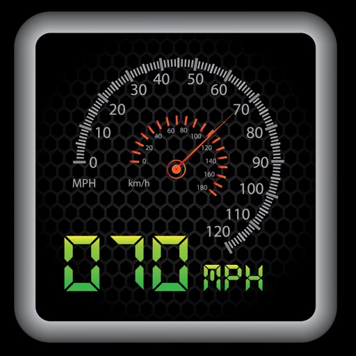
The app provides a heads-up display for a car, offering GPS-based speed information with MPH and KPH options. It includes digital and standard font modes, 12 and 24-hour clock options, and portrait and landscape orientations.
The app displays current heading, course, speed, coordinates, and altitude. It offers street, topographic, and aerial maps, with cached maps available for a day.