Monitor vehicles, people, and objects with real-time location tracking. Send remote commands and manage fleets or personnel. Set user permissions and analyze driving and parking reports. Track mileage and schedule settings for device management.
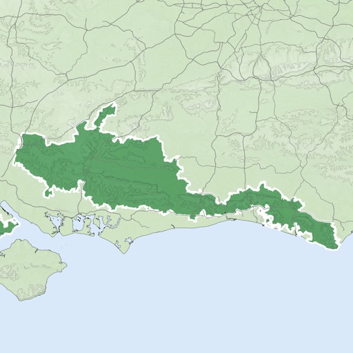
The app offers unlimited free map downloads based on Ordnance Survey OpenData, with options for paid map downloads. It allows users to mark waypoints, plan routes, record tracks, and import/export GPX files.
Create detailed interior maps for large spaces like malls, schools, and hospitals. Navigate indoor areas with real-time directions. Locate items quickly using step-by-step guidance. Sync with building layouts for accurate positioning.