The app provides current FAA aviation charts updated every 28 days, including approach plates for the USA. It offers VFR, IFR, and other chart types, with METAR/TAF and IFR overlays.
The app provides comprehensive business aviation data for Jet, Turboprop, and Piston aircraft. Users can compare multiple models, view interactive range maps, and access daily updated databases and newsfeeds, even offline.
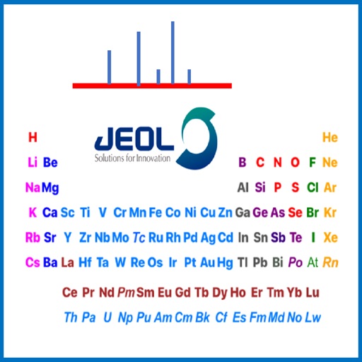
Reference allows users to select between mass spectrometry, energy-dispersive x-ray spectroscopy, or nuclear magnetic resonance spectroscopy tables. Clicking on elements shows method-specific information about stable isotopes.
Study "Review FAA material by subject. Create custom study sessions with randomized question order. View answers, explanations, and track progress across categories."
The app provides a quick search for aviation abbreviations, saving users time. It contains over 8000 terms, with additional airport and IFR codes, totaling over 14000 entries for reference.
The app displays real-time PM2.5 measurements from the pDR-1500 personal particulate monitor. It presents outdoor measurements and provides line charts showing data over 24 hours.
The app provides football information including plays, terms, and strategies with visual aids like pictures, maps, and charts. Users can add their own plays, notes, and photos, and share them via email and social media.
The app displays live weather and maritime measurements, forecasts, wind, and sea-maps for the Dutch coast and North Sea. All data originates from Dutch government institutions KNMI and Rijkswaterstaat.