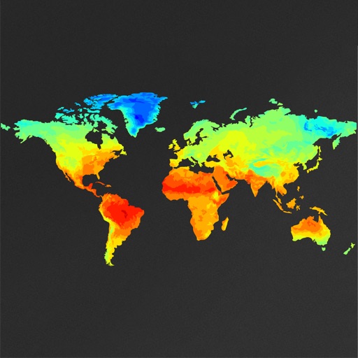
View global weather data with interactive map panning and zooming. Switch between weather layers for current and forecasted conditions. Track detailed weather changes up to 0.25 degrees on land or sea.
Plan activities at sea with real-time coastal weather data. View daily and monthly tide charts, tidal coefficients, and water levels. Track swell height, wave direction, and surf tables.
Check current and forecasted conditions by the hour for the next ten days. View temperature, rain, snow, and wind details. Use maps to explore local patterns. Receive alerts for adverse conditions. Sync favorite locations across devices using iCloud.
View live weather radar and satellite imagery. Track precipitation types and lightning. Access high-resolution forecasts using advanced models. Set location-based alerts. Share weather data with others.
Track wind conditions with detailed forecasts, maps, and compass readings. Monitor wind speed, direction, and gusts. Receive push notifications for wind alerts and storm warnings.
View real-time and forecasted images for land and sea. Check precipitation maps and track patterns. Receive hyperlocal updates. Set location-based alerts. Share data with others.
The app provides detailed wind and weather forecasts for over 160,000 locations. It offers real-time measurements from 21,000 weather stations and tide forecasts for over 20,000 locations.
Track severe with real-time and high-resolution hurricane data. Receive live NOAA alerts for tornadoes, winter storms, and severe thunderstorms. View forecasts and safety tips for home, work, or recreational activities.
The app provides detailed wind and weather forecasts for over 160,000 locations. It offers current measurements, tide forecasts, and severe weather warnings for the US and Europe.
Access real-time ocean data including wave heights, wind speed, water temperature, and currents from over 750 buoys. View detailed forecasts and conditions for sailing, surfing, and fishing.
View and download NOAA electronic navigational for offline use. Access in NOAA or ECDIS formats. Overlay NOAA weather for real-time conditions. Display buoys, beacons, lights, and natural/man-made features. Track radar and fog signals.
View satellite imagery updated in near real-time. Track hurricanes, storms, and severe . Monitor wildfires and smoke. Explore current and forecasts for rain, wind, temperature, and pressure. and interact with global maps.