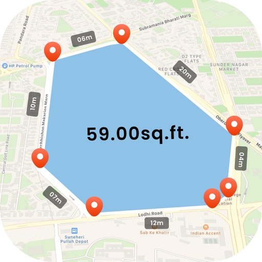
Find using GPS . Search for areas and retrieve accurate latitude and longitude. Switch between standard, satellite, and terrain map views. Calculate area measurements. Share via email or messaging.
Research property details by address, owner, PIN, or REID number. Tap the map to view building photos, deed links, real estate data, and civic service info. Access map layers for zoning, soils, greenways, and topography.
Create and fill out forms directly on devices. Collect data offline and receive instant push notifications. Assign forms to team members for completion. Access exclusive features like multiple users, dedicated servers, and SSO login.