Measure land , distance, and perimeter using real-time GPS. Mark points on a map to calculate fields, plots, and paths. Switch between and distance modes. Supports units like acres, hectares, and square feet. Save and export data.
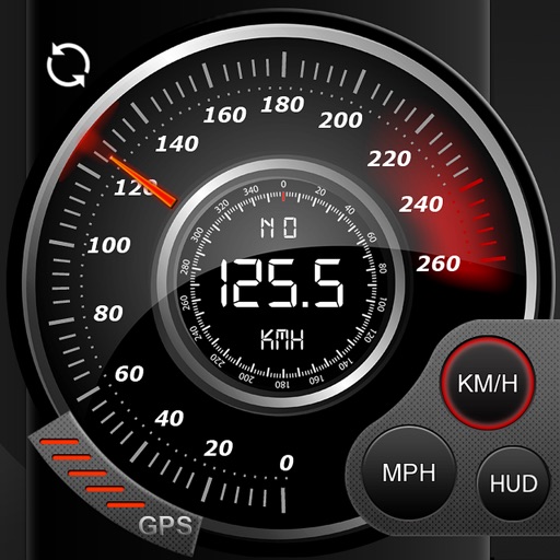
Record data including , average , distance, altitude, and elapsed time. View real-time GPS tracking with longitude and latitude. Monitor statistics and save history. Sync with devices for offline navigation.
Locate personal using AirTag or compatible devices. View on a map with directions and play a sound to help them nearby. Receive notifications when an item is found or when separation occurs.
Create and share surveys with various question types and templates. Collect responses via preferred channels. Generate real-time reports to analyze data and track trends. Export results in multiple formats.