

Apps Like gitBoulder for iPhone and iPad
Edit crags, add photos, track climbs offline
Access detailed climbing information with user-editable crag and area guides. View satellite imagery for offline navigation. Upload and share photos of climbs. Contribute to and update climbing documentation.
gitBoulder screenshots
Ranked alternatives
Showing 701–720 of 1,000 ranked alternatives.

Omnipedia—Offline Encyclopedia
Recursive Ink Ltd
Download offline knowledge anywhere
Access offline Wikipedia articles for any topic. Search for information, view detailed explanations, and browse categories. Download content for offline use and sync updates when connected.

Polnav mobile Navigation
Polstar Technologies Inc.
Offline maps and complete navigation functions.
The app offers offline map support and complete navigation functions. It provides voice guidance, destination information, and next turn details for various vehicle types.

LVL UP Imaging
LVL Up Imaging LLC
Edit and share lighting setup videos
Access instructional videos for setting up and using the LVL Up lighting system. View training guides to improve photography quality and consistency. Manage lighting configurations and review tutorial content for school photography.


USA Travel Guide and Offline City Street Map
eTips LTD
Offline city guides with augmented reality.
The app offers offline travel guides for major US cities, featuring interactive maps, daily itineraries, and augmented reality capabilities. Users can explore points of interest, shopping, and nightlife without needing an internet connection.

Save Location : GPS Map
MadhavKumar Bhayani
Locations and recall them anytime
And share precise details with exact coordinates. Store locations with associated dates. Retrieve saved locations to navigate back easily. View history and access saved addresses for future reference.

SmartTrac Vehicle
smart trac pty ltd
Track vehicles and assets in real time
Track and manage fleets and mobile assets using GPS and satellite technology. View real-time locations, receive alerts, and send messages to assets. Log maintenance history and generate reports. Sync data across devices and set geofence boundaries.
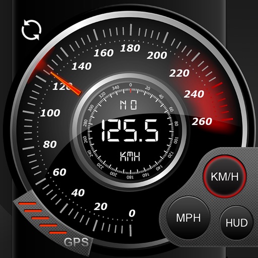
Speedo GPS Speed Tracker, Car Speedometer, Cycle Computer, Trip Computer, Route Tracking, HUD
Kevin Siml
Track , distance, and
Record data including , average , distance, altitude, and elapsed time. View real-time GPS tracking with longitude and latitude. Monitor statistics and save history. Sync with devices for offline navigation.


Geo Timestamp : GPS Map Camera
Followal Infotech LLP
Capture photos with GPS, date, and time
Capture photos with embedded GPS coordinates, date, and time stamps. View map overlays and location details directly in images. Share geotagged photos with precise timestamps and location data.

London Tourist Guide Offline
eTips LTD
Offline travel guide for London.
The app provides an offline travel guide for London. It includes interactive maps with points of interest, daily itineraries, and city tips.

Rother: Hiking Tours & Maps
Bergverlag Rother GmbH
Route suggestions from professional authors.
The app offers route suggestions from professional authors and maps from qualified cartographers for outdoor experiences. Users can download maps for offline use, plan their own routes, and record adventures.

Ember Map
Jarred Casley
Track hotspots and navigate fireground terrain
View and analyze satellite hotspots and GPS data. Access topographic maps and AAHS/NWCG symbology. Import GeoPDF files. Use fire behavior calculators to assess conditions. Track location and monitor fireground activity in real time.


Rocky Mountain National Park Hiking Guide
Justin Calvert
Offline Rocky Mountain National Park Hikes
The app provides offline maps and information for over 60 hikes in Rocky Mountain National Park. It tracks user progress, shows distance to destinations, and offers detailed hike information including elevation and trailheads.

How we rank alternatives
Apps are ranked by functional similarity, category fit, rating confidence, and popularity.