Current location with contacts with one tap. Display precise coordinates on a map. Allow recipients to view and track movement in real time. Send location updates automatically or manually.
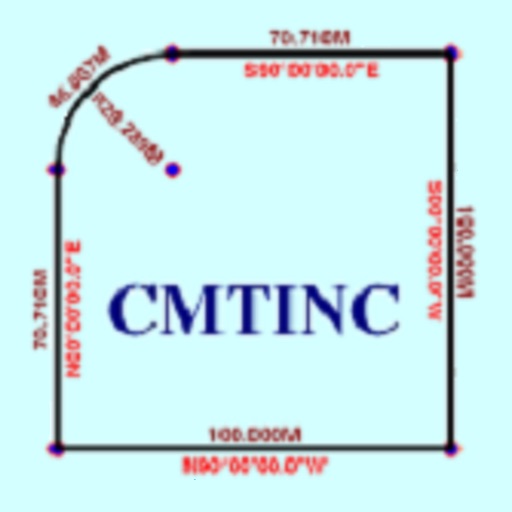
The app converts real property descriptions into boundary maps. Users enter angles and distances to draw property boundaries, displaying closure error, total area, and perimeter.
The app offers two calculation modes: Calculator mode evaluates left to right, while Formula mode respects operator precedence and supports parentheses. Users can edit past calculations, add notes, and export rolls as PDFs.
The app provides a grading table for tests with up to 1000 questions. It displays grades as percentages, out of 20, or out of 10, with options for decimal places and bonus points.
The app allows users to plant a marker at their current location or manually save a spot. Users can share single or multiple markers via email for others to import.
Provides maps for navigation without internet or roaming costs. Zoom on detailed vector maps with continuous updates. Locate points of interest and plan routes. Save data usage by avoiding mobile networks.