
TerraGuide
ANDESMAYA LLC
Navigate with offline maps and AI
Navigate using terrain-aware offline maps and star navigation. Access on-device AI for guidance without internet. Communicate via offline Wifi/Bluetooth Mesh for peer-to-peer coordination.

Navigate with latest satellite imagery
Navigate using high-resolution satellite imagery for Bay and Copper River watersheds. Access updated for accurate route planning. View real-time environmental changes. Mark and save fishing spots. Share locations with crew members.
Showing 661–680 of 1,000 ranked alternatives.
ANDESMAYA LLC
Navigate with offline maps and AI
Navigate using terrain-aware offline maps and star navigation. Access on-device AI for guidance without internet. Communicate via offline Wifi/Bluetooth Mesh for peer-to-peer coordination.


Pocket Mariner Ltd.
Explore, plan, and navigate boating trips.
The app provides marine charts for the UK and Ireland, featuring live AIS ship positions, augmented reality views, and route planning. It offers offline charts, autopilot support, and detailed navigation information for boating trips.


Spot LLC
Send messages via satellite anywhere.
The app pairs with SPOT Connect, a satellite messenger for sending messages via satellite from remote locations. It sends location-based messages from areas beyond cellular phone coverage using the Globalstar satellite network.
Andres Narvaez
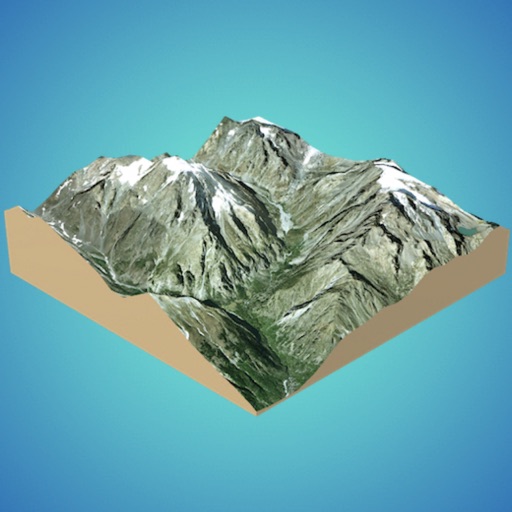
Generate 3D models from internet or cloud
Create 3D models from online sources like Bing Maps or local cloud points. Export data as CSV, TXT, STL, or OBJ. Modify models by cutting, scaling, and animating. Calculate surface areas and volumes in real-world units.




Active Window ApS
Official guide to Vejle experiences.
The app guides users through holiday experiences in the Vejle region, including nature, attractions, and city life. It provides information on accommodation, weather, transport, and maps.




Apps are ranked by functional similarity, category fit, rating confidence, and popularity.