Track adventures with customizable maps using known coordinates. Download and save tracks for replay or sharing. Navigate without cell service or wifi once maps are loaded.
by Terry Burdett★ 0.00 ratingsSportsFreeData updated 2026-09-06
Access match schedules and event calendars. View real-time scores, news, and highlights. Purchase and manage digital tickets. Receive updates on team stats and exclusive content. Navigate to Allianz Field with integrated maps.
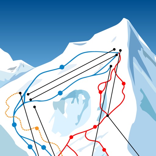
The app allows users to download ski resort trail maps to their iPhone. Users can utilize the built-in GPS to navigate slopes or track activities without an internet connection after downloading maps.
Track hunts with personal statistics and AI-powered duck species identification. Share adventures with friends. Access offline functionality for remote areas. Connect with hunters across clubs, outfitters, and individual users.
Track disc golf scores and save them to a scorebook for analysis. View detailed course information including descriptions, locations, hole details, and maps. Access over 100,000 course photos and 60,000 reviews.
Track trips with custom and offline maps. Monitor weights and costs. Capture and organize photos from adventures. Create custom packs. Share trip details and route progress. Sync photos and maps across devices. Plan with detailed trip information.
Navigate using real-time maps and track geocaches with detailed location data. Store geocache information including logs, waypoints, and images locally. Import GPX files or pocket queries. Access over two million geocaches directly via API.
Plan routes using 3D HD maps and topographic layers. View detailed terrain and winter satellite imagery. Track elevation and distance during outdoor activities. Save and share trip data. Sync with fitness devices for real-time performance metrics.
Explore with detailed descriptions and trail information. Use GPS to navigate based on skill level and preferences. Download maps for offline access. Track hikes with elevation profiles and route details.
Create interactive 3D models of spaces using LiDAR scanning. Detect objects and generate spatial coordinates. Measure distances, share maps, and plan layouts or design projects within the mapped environment.
Record slope angle and aspect using phone camera. Capture crown profile and measure dimensions. Map slide path with GPS. Share diagrams and maps with colleagues. Post data to network for alerts.
Plan trips to parks with downloadable and guides. Access 100+ parks, 290+ from federal agencies, and 3,000+ campgrounds. View Motor Vehicle Use and visitor for national forests.
Track scores, view standings, and follow tournaments
Track team performance with real-time score updates and tournament brackets. View game schedules, standings, and maps. Directors can input scores and notify participants instantly.
Track routes with detailed maps. Log distance, pace, and elevation. Analyze patterns and set goals. Monitor activity streaks and receive motivational updates. Sync data with health platforms. View progress charts and export reports.
Track scores for X01 and Cricket games. Add players, set legs and sets, and choose game modes like 301 or 501. Calculate points and statistics automatically. Save games for later playback. Determine winners based on calculated scores.
The app provides schedules, standings, scores, notifications, maps, and brackets for tournaments and leagues. Directors, score keepers, and teams can enter scores for games and track selected teams.