Apps Like Snowbird Mountain Map for iPhone and iPad
Navigate trails and track your route
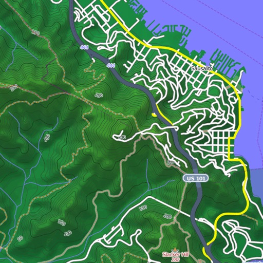
Navigate trails and routes with detailed topographic maps. Mark favorite locations and save custom trails. Get real-time elevation data and weather updates. Share GPS coordinates with others.
by EARTH CHANGE OBSERVATION SYSTEMS, LLC★ 3.52 ratingsNavigationFreeData updated 2026-09-06
Access member photo directory and digital membership card. Request clubs from the bag room or view and pay statements. Receive club updates and manage account information.
Book tee times, request food and beverage delivery, and view payment statements. Access a digital membership card and member photo directory. Receive updates and manage account information.
Access member benefits including requests, statement payments, and digital membership card. View member photo directory and receive updates. Manage account details and interact with features through the .
Manage membership with a digital card. Request clubs from the bag room. View and pay statements. Access a member photo directory. Receive club updates. Submit requests with a single tap.
Access member directories and digital membership cards. Request clubs from the bag room and view payment statements. Receive updates and manage account information. Pay bills and access property services remotely.
Manage tee times and request clubs from the bag room. View and pay statements directly. Access a directory of amenities and services. Use GPS for location-based features. Track battery usage for background GPS.
The app provides a route map with a station index and line overviews. It includes day and night maps, GPS support to find nearby stations, and high-resolution graphics.
View and download detailed maps with topographical hillshading and contour lines. Store maps for offline use. Navigate using detailed terrain features. Find hiking trails, ski runs, and back streets.
The app provides digital maps of Austria with hill shading and object names. It includes topographic maps and offers functions like searching by name or coordinates, GPS features, and measuring distances.
Chongqing Pengri Science and Technology Development Co.,Ltd.
Navigate with HUD guidance via Bluetooth
Connect to a HUD module via Bluetooth to display navigation instructions and turn signals. Use GPS for real-time navigation. Keep GPS active for accurate directions. Battery life decreases with continuous GPS use.