The app offers over 70 full resolution images of nature landscapes and wildlife. Users can download images to their library for personal use, including wallpapers and school projects.
Access museum information including current and upcoming exhibitions. Explore audio tours of the collection and special exhibitions. Experience 360° virtual tours. Use augmented reality to learn about Makart’s WHO IS WHO.
Access offline travel guides for . Explore thousands of attractions and tourist sites. Use an offline map for navigation. Retrieve offline information without internet. Download offline audio guides totaling 30 hours.
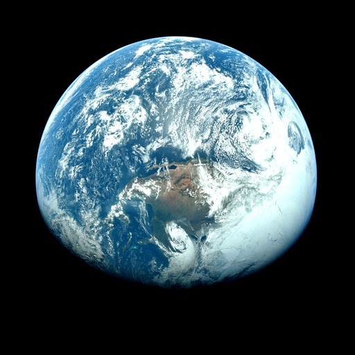
View satellite imagery and time-lapse data to analyze features. Compare images using an A/B slider. Visualize environmental data like air pollution, vegetation, and sea ice. Explore unfiltered satellite views from the ESA’s Sentinel-2 satellites.
Graph functions, equations, and curves in 2D and 3D. Calculate derivatives, integrals, and roots. Create tables of values and solve equations. Construct and analyze polygons, circles, and conics. Use Augmented Reality to explore 3D objects.
Explore maps, layers, and features with interactive . Create and save maps. Display vector and raster data. Work with feature layers and geodatabases. Add, delete, and edit features and attachments. View code for each sample.
Explore real-world locations as a secret agent with AR-powered missions. Complete scavenger hunt-style challenges at parks, museums, and stadiums. Use smart AI tools to answer questions and guide progress. Available in multiple languages.
Plan outdoor spaces using augmented reality to visualize shade trees and seating arrangements. Adjust spacing and occupancy settings for different layouts. Share design plans via screenshots. Sync with Apple Health.