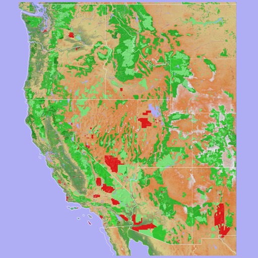
View locations and roads on the ranch using an interactive map. Access offline maps for navigation. Search for points of interest and zoom in for detailed views. Save favorite locations for quick access.
Explore transit routes and schedules for major cities worldwide. View detailed maps with station locations, line connections, and real-time updates. Find nearby stations and plan journeys using integrated maps.
Explore maps with detailed satellite views, hiking trails, and topography. Navigate transport networks and view railway routes. Access terrain analysis and seas. Customize map layers for OpenStreetMap and tile-based maps.
Navigate using a 3D topographic map of the USA and Hawaii. Access offline vector maps for navigation in vehicles or outdoors. Switch to online maps for global coverage with automatic caching. Explore locations with zoom and scroll features.
Navigate using an offline map and compass tailored for Burning Man. Find nearby events and locations with full text search and geocoding. Access favorites, view walking and biking estimates, and filter events. Sync with Apple Health.
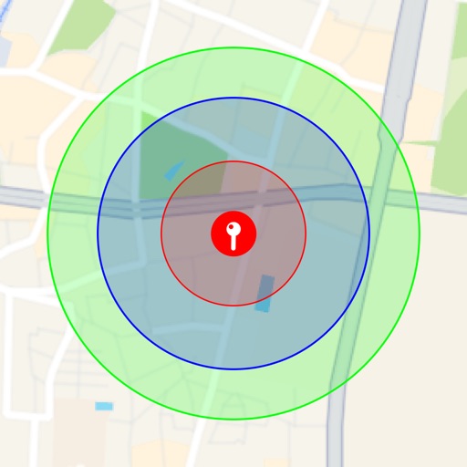
Visualize around map pins to compare distances. Set up to three per pin. Search locations and check nearby points of interest. Switch between standard and satellite map views. Automatically save pins for future reference.
Real-time 3D maps with GPS navigation. Access HD views for current locations and addresses. Get driving directions and traffic updates. Receive voice-guided routes for navigation. Sync with global earth map for location-based insights.
Felipe Braunger Valio Desenvolvimento de Sistemas Ltda
Find Power Moons and explore the map
Track locations of Power Moons and other items on a map. Mark and save discovered items. Explore the game map with detailed navigation. Unlock additional features via in- purchases. View item locations and progress towards completion.
Displays real-time location and current /sector boundaries. Shows crime/incident data and sector maps. Includes satellite and street view layers. Provides quick access to contact info and navigation tools.
View real-time GPS maps and switch between map and views by holding the device. Track heading, , altitude, latitude, longitude, speed, and temperature. Use a for accurate navigation and monitor speedometer and temperature readings.
Access offline maps with zoom features and AR navigation. View interactive points of interest including public transport, restaurants, and attractions. Explore daily itineraries and budget-friendly accommodations.
Navigate with turn-by-turn directions for hikes and custom routes. Access topographic with contour lines and hill shading. Save hiking trails and routes for offline use. View detailed information about national park hikes.
Navigate DC using WMATA transit. Find routes between locations, check real-time arrival times, and plan trips with step-by-step directions. Tap SmarTrip cards for fare payment and view service alerts.
Display current location using GPS, GALILEO, and GLONASS. View position on various map layers. Import and export KML files. Navigate with coordinate systems. Track movement during outdoor activities.
Felipe Braunger Valio Desenvolvimento de Sistemas Ltda
Find locations, save progress, and explore
Access a detailed map with all locations, shops, plants, and legendary animals. Track quests and weapons. Save progress to organize the map and explore new areas.
Navigate off-road trails by dropping waypoints and recording tracks. Explore curated trails and points of interest. Receive real-time hazard alerts and trail conditions. Download maps for offline use. Access detailed weather and elevation data.
Server locations across 220+ countries and territories. Identify your IP and ISP instantly. View server locations on an interactive map with directions. Check your current IP address and verify network privacy.
Plan routes using detailed topographic and trail data. View points of interest for rest areas, food, and accommodations. Track progress with real-time navigation and route logging. Set waypoints and save custom trails for future trips.
Navigate with real-time traffic updates and turn-by-turn directions. Search for points of interest and locations. View detailed with accurate local data. Get offline map access and route customization. Share locations with others.