Record biodiversity data using the Coastal Biodiversity Survey protocol. Select sites and transects. Log species or substrate at 100 points per transect. Save and export survey data for analysis.
by University of California, Santa Cruz★ 0.00 ratingsEducationFreeData updated 2026-09-06
The app identifies coprosmas, a genus of New Zealand woody plants. It aids in ecological surveys and is useful for students and researchers in the New Zealand botanical community.
Identify species by scanning photos. View detailed information about habitats, behaviors, and diets. Explore species profiles with images and descriptions. Save favorite species and track identification history.
The app explores Indiana history with an interactive map. It provides historical information, images, and sometimes audio or video clips for various locations.
Visualize airspace using Augmented Reality. Select airports from a map, point camera at a surface, and tap to start. View 3D and animations of takeoffs and landings. Explore real-time routes above selected airports.
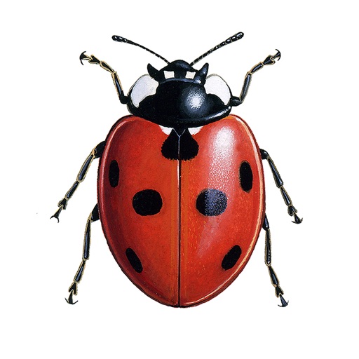
Identify insects and bugs using AI-powered camera recognition. Capture images and receive species identification. Learn about bug characteristics, habitats, and behaviors. Access detailed information and related facts. Share findings with others.
Report algae observations and record sample locations
Report algae observations with GPS coordinates and sample tube numbers. Submit data to the team. Track sample locations and share findings with community scientists.
Calculate standard deviation, probable error, and error of the mean for surveying and civil measurements. Switch between imperial and metric units. Perform calculations for series of observations and single or combined accidental errors.