
iPhone Screenshots

Description
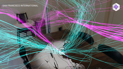
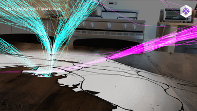
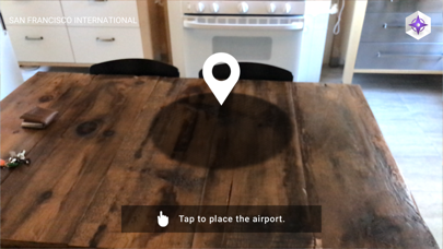
Visualize airspace using Augmented Reality. Select airports from a map, point camera at a surface, and tap to start. View 3D and animations of takeoffs and landings. Explore real-time routes above selected airports.
Flight Paths uses Augmented Reality to visualize the airspace above America's busiest airports. Select an airport from the map, point your camera at a table or floor, and tap the screen to get started. A beautiful animation of flights taking off and landing will fill the sky above the airport. Flight Paths lets you see these 3D routes in a whole new way, right from your living room.