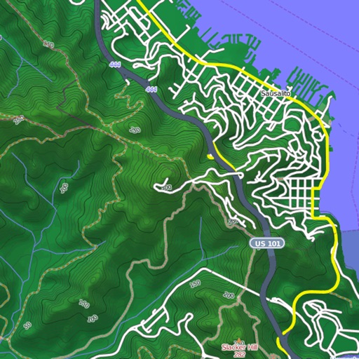
Plan and track outdoor routes with 3D terrain views. Measure elevation changes and distance. Save and share custom trails. Access real-time GPS navigation and offline maps. Adjust routes based on elevation and difficulty.
Explore famous and TV show filming globally. View scene stills, GPS coordinates, and 360° street views for each location. Use Google Maps integration to navigate and plan routes to destinations.
The app converts between Decimal Degrees and Degrees/Minutes/Seconds notation. It allows viewing converted coordinates in Maps or sending them to GPS Log.
View and download detailed maps with topographical hillshading and contour lines. Store maps for offline use. Navigate using detailed terrain features. Find hiking trails, ski runs, and back streets.