
Topographic Maps & Trails
LW Brands, LLC
Download for offline use
View and navigate USGS and satellite imagery. Download for offline use. Track hiking routes and save locations. Access detailed terrain and elevation data.

Showing 121–140 of 1,000 ranked alternatives.
LW Brands, LLC
Download for offline use
View and navigate USGS and satellite imagery. Download for offline use. Track hiking routes and save locations. Access detailed terrain and elevation data.

Andreas Schneider
Always informed about balloon location.
The app sends the current balloon location to the Balloon Map system. Chasers receive updates about the balloon's location.


onXmaps, Inc.
Find lakes, view details, navigate to locations
Access GPS navigation and land ownership data for fishing. Locate lakes with detailed fisheries information. View satellite imagery and apply filters for ice fishing. Find trails, access points, and land ownership details.


Ankit Patel
Train with AI feedback and track progress
Track workouts with real-time AI form feedback and instant guidance. Count repetitions automatically with smart rep tracking. Sync progress across devices and share achievements with a fitness community.

Sygic a. s.
Navigate with 3D maps and real-time traffic
Navigate with smart route planning and real-time traffic updates. Access 3D offline maps and precise estimated time of arrival. Receive speed camera warnings and traffic alerts. Support for , HGV, RV, and other large vehicles.

Kalimex-Consulting s.r.o.
Navigate with map, , and GPS
Navigation allows users to view and share GPS coordinates in six formats. It includes a , altitude, distance, and sunset/sunrise tracking. Users can set and edit waypoints with photo or audio notes.

Appeclectic Ltd
Track flights, view maps, monitor arrivals
Track flights in real time with interactive maps worldwide. View departure and arrival boards for airports. Monitor flights of friends or family. Receive alerts for status changes. Share data via social media.


Craig Hunter
Measure altitude with precision
Measure altitude using barometric pressure and GPS data. Display altitude in feet and meters with real-time accuracy. Calibrate sensor and switch between day and night display modes.

Civi Corp Pty Ltd
Capture photos with location and time stamps
Capture and stamp photos with GPS position, direction, altitude, and timestamp. Add notes including project name, photo description, company or username, and logo via in- purchase. Overlay location data directly on images for accurate documentation.
Mark Granger
Explore 3D maps offline worldwide
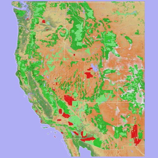
Navigate using a 3D topographic map of the USA and Hawaii. Access offline vector maps for navigation in vehicles or outdoors. Switch to online maps for global coverage with automatic caching. Explore locations with zoom and scroll features.

Richard Allen
Track yardages and predict ball flight
Track yardages per club and adjust for wind conditions to predict ball flight. Input altitude and weather data for accurate distance calculations. Save and retrieve local data without cloud storage.

祥琦 孔
Share location with altitude and direction
Measure altitude, latitude, and longitude in real time. Display current direction using a compass. Show location with map-based coordinates and address. Share photos with altitude data on social networks.


TomTom
Navigate with -specific routes
Plan routes with vehicle-specific guidance, including dimensions and fuel type. Access traffic updates and multi-drop planning. Find relevant points of interest and gas stations. Track progress and receive real-time navigation assistance.
Apps are ranked by functional similarity, category fit, rating confidence, and popularity.