Manage inventory in warehouses and during deliveries with real-time tracking and data synchronization. Capture and upload video inventory for accuracy. Assign tasks, monitor stock levels, and generate reports.
Monitor machines remotely and view displays anytime
Monitor machines remotely with real-time data access. View in-cab displays from anywhere. Analyze agronomic data layers for specific fields. Track machine performance and manage fleets through a unified interface.
Monitor crop health using satellite imagery. Analyze field data to identify issues. Generate reports for farmers and stakeholders. Track growth patterns over time. Share insights with team members and authorities.
Agronomists use the to create field boundaries, record planting, application, and harvest events, and scout for pests and disease. They can document findings with or without cell service and customize scouting protocols.
Manage farm data with real-time in-cab tools and field-specific weather forecasts. View imagery-based map layers and detect crop health changes automatically. Plan operations, scout fields, and track harvests.
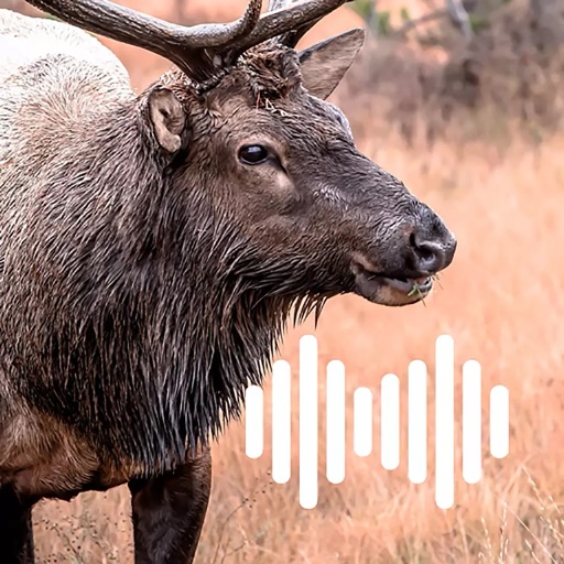
Create custom call sequences with adjustable delays between each call. Play bugles, cow calls, and grunts individually or in combinations. Loop calls in the background and continue using the with a locked screen.
View geo-referenced aerial imagery alongside real-time user location. Mark and annotate specific areas of interest. Save and share observations with team members. Navigate maps and project data while offline.