
Airscout Access
Investigate issues with geo imagery
Acre Crop Scouts, LLC
iPhone Screenshots


iPad Screenshots


Description
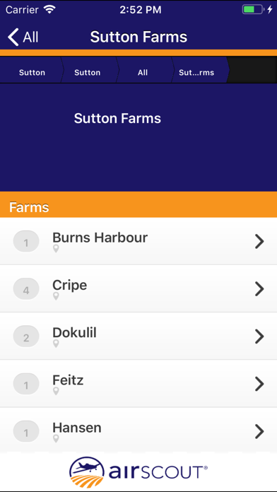
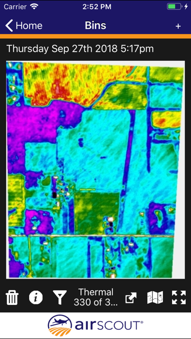
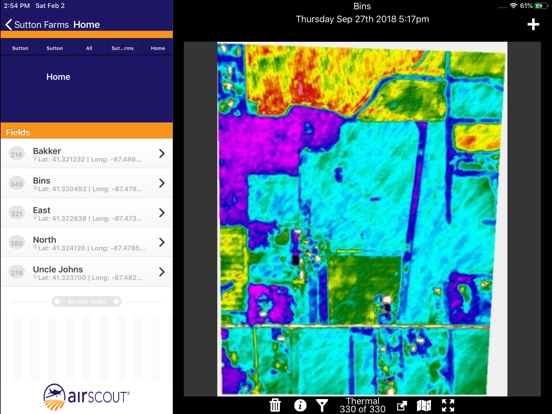
View geo-referenced aerial imagery alongside real-time user location. Mark and annotate specific areas of interest. Save and share observations with team members. Navigate maps and project data while offline.
Airscout Access is the field application for to support Airscout's aerial imagery based scouting service. This mobile app allows users to ground truth and investigate specific issues identified using the imagery by providing geo referenced imagery paired with user locations. The app works with both iPhones and iPads. The app does require an active internet connection in the field.
App information from Apple App Store. Airscout Access and related trademarks belong to Acre Crop Scouts, LLC.