Objects in real-world environments using augmented reality. Tap to select measurement points and view length, width, and height. Save measurements and share results directly. Sync with other devices for collaborative projects.
Measure levels in multiple orientations and slope angles with high precision. Calibrate and hold measurements for stability. Choose appearance settings. Track horizontal, vertical, and flat placements.
Provide high-resolution trail maps for 6,000+ ski resorts worldwide. Offer turn-by-turn navigation to runs, lifts, and locations. Filter routes by ability level and preview routes in first-person. Share location in real time.
Navigate using real-time traffic updates and turn-by-turn directions. Access points of interest, search for locations, and view maps. Switch between portrait and landscape modes. Control audio playback and manage call functions.
Land, fields, and property using GPS or manual input. Place markers on the map or walk boundaries to calculate , distance, and perimeter. Choose units like square meters or square feet. Save and share measurements.
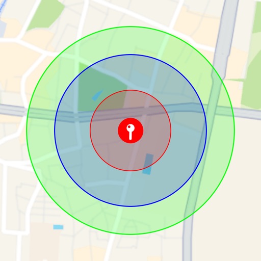
Visualize around map pins to compare distances. Set up to three per pin. Search locations and check nearby points of interest. Switch between standard and satellite map views. Automatically save pins for future reference.
Distances, areas, perimeters, angles, and circle parameters using photos. Define measurement planes in 3D space. Adjust for non-parallel planes. Export measurement data. Share results directly.
Displays real-time location on a road network with milepoint and route ID updates every second. Shows offline maps using locally stored base maps. Accesses road data without requiring internet connectivity after initial download.
Measure using AR and TrueDepth sensor technology. Place device at eye level, follow on-screen prompts, and receive accurate PD measurement. Save and share results for eyewear purchases or customization.