

Apps Like TakeoffAlert for iPhone and iPad
Track takeoff performance and compare results
Monitor takeoff performance by comparing actual data to planned values. Input runway takeoff distance available, takeoff roll, and stopping distance. View real-time feedback on aircraft performance during takeoff events.
TakeoffAlert screenshots
Ranked alternatives
Showing 341–360 of 1,000 ranked alternatives.


qtVlm
Meltemus SAS
View grib files and track sailing routes
View grib files with detailed wind and wave data. Display basic charts and simple instruments. Use anchor alarm feature. View shapefiles like SHOM data. Receive boat position input from external sources.

Speedometer: Speed Control.
Sandy Masey
Track your ride with real-time GPS data
Track , route, and trip statistics with real-time GPS data. Monitor distance and performance metrics during drives. Record detailed travel history with precise location tracking.
Plant Viewer for Mobile
MA Solar Italy Srl
Access solar energy generation information now.
The app provides mobile access to solar power system energy generation information. Users can track energy produced, verify plant health, and understand performance variations over time.



Augport: Airport Finder HUD
Toonsy Net
Find airports with essential data.
The app provides a heads-up display of airports and essential information, including distance, bearing, elevation, and runway length. Users can filter results for paved runways over 10,000 feet.

Earthquakes: Earthquake Map
Jacob White
Earthquake map and notification tool.
The app displays an earthquake map and provides earthquake notifications. Users can sort earthquakes by magnitude, distance, or time.
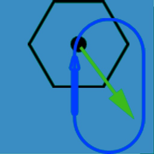
NavTutor
DID Software Inc.
Learn aircraft holding pattern entries visually.
The app visually represents an aircraft and a holding pattern relative to a navigation aid. Users can learn to determine their position using ADF, VOR, and heading information, and identify correct entry patterns for standard and non-standard holds.
Bandwidth
ZHENG WANG
Track data usage and reset manually
Monitor data usage for 3G, GPRS, and Wi-Fi networks. Track data in bytes, KB, MB, and GB. Reset or correct data manually. Set plans and receive color-coded alerts for usage thresholds. Notify users of data overage.


iBFDmonochrome
Tatsuo Saeki
Monitor flight data and backup instruments
Provides a backup flight display with attitude indicator and heading indicator. Displays critical flight data during instrument failure. Allows pilots to monitor aircraft orientation and direction. Integrates with GPS for accurate navigation.


StarPilot
Starpath Corp
State-of-the-art ocean navigation computations.
The app provides navigation computations for celestial bodies using an internal almanac. It offers solutions for position fixes, sailings, and piloting, including lunar distance and a graphical Sight Planner.


PFMA E6B LITE
Gonzalo Esteban Astica Capra
Calculate flight data and track position
Navigation provides flight planning and in-flight calculations. Users can customize quick access buttons, configure units, and adjust keypads. Features include real avionics look, flight data entry, and performance calculations.

Here U Go! Local Places Finder & Business Locator
Michael Quach
Find local businesses quickly and easily.
The app identifies the user's location and displays nearby businesses such as restaurants, banks, and parks. Users can view business locations, addresses, phone numbers, and distances.
G-Field Recorder
Stratos Perception, LLC
Record and replay motion data
Logs 3-axis acceleration and rotational data, ground speed, altitude, distance, displacement, and course. Users can plot, replay, and analyze recorded data for experiments, sports, drones, vehicles, and security. Data is stored locally on the device.
How we rank alternatives
Apps are ranked by functional similarity, category fit, rating confidence, and popularity.