Helps paramedics locate nearby hospitals with specific specialty care. It provides real-time location tracking and displays hospitals based on emergency type. Users can access hospital details and navigate to the nearest facility.
Make and receive secure VoIP calls over 3G, 4G, and Wi-Fi. Adjust audio settings with noise suppression and echo cancellation. Use adaptive jitter buffer and packet loss concealment for stable connections.
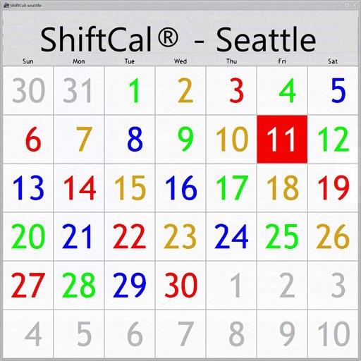
View and interact with database data through customizable . Display information in calendar, matrix, or list formats. Filter and sort data for precise visibility. Integrate with databases.
Report non-emergency issues like potholes, tall grass, and streetlight outages. Track request status and receive updates. Submit anonymous crime reports. View location-based issues via GIS map. Communicate directly with city staff.
View real-time alerts and incident details. Take immediate action with direct response options. Communicate two-way with Security Operations Center and Incident Response teams. Manage threats with instant access and swift response capabilities.
Manage alerts and control incident responses from mobile devices. Enable multi-factor authentication using biometrics. Generate detailed activation reports for incident management.
Monitor speed and key metrics in real time using precise GPS. View speed in km/h, mph, or knots. Track location, route, and direction on an integrated map. Save detailed trip history with timestamps and distance traveled.