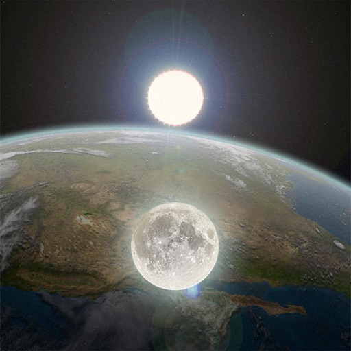
The app displays moon phase and sunrise, sunset, moonrise, and moonset times for any location and date. It shows current location data instantly and allows checking other world locations via map view.
Navigation helps users locate cleaning stations on a map. Clicking a station provides details like opening hours, contact info, services, and certificates. Filters assist in narrowing down search results.
Explore STEM events and activities across the U.S. via a map interface. View event details like location, directions, meal options, dates, and times. Share events with others. Access organizer websites for registration and additional info.
Find locations using names, addresses, or organization searches. Plan routes within Azerbaijan and Georgia. View detailed information about places including contact details. Access location services in three modes. Discover nearby points of interest.
Learn to navigate flight displays and engine systems through simulated touch and bezel interactions. Explore HSI Map zoom gestures and split-screen PFD/MFD modes. Familiarize with interface elements before actual use.
Determine current position using the Swiss Coordinate System . Display Swiss Ref, WGS84 Latitude, and Longitude. Show device-reported accuracy. Share coordinates via text, email, or clipboard.
Create digital notes with pen, brush, text, and shape tools. Add background layers from camera, photo, map, or color. Save screenshots and use grid for alignment. Reset, undo, and redo actions available.
The app shows users available parking garages in Swiss cities with a Parking Guidance System. It displays the current number of parking spaces, rates, and provides navigation to the nearest parking.